
TL;DR: Cebu’s real mountain biking community rides four main routes: the technical 6 Towers Trail in Buhisan (black-diamond singletrack), the endurance Busay-Cantipla-Sudlon loop, the paved, intermediate Guadalupe River Loop, and the long Transcentral Highway climb to Balamban, which carries traffic risk. Rent a mountain bike in Guadalupe from around ₱800 (US$13) per day. Verified July 2026.
Cebu City sits against a mountain spine that’s produced a genuine local mountain biking and cycling scene, logged in detail on Trailforks, Wikiloc, and AllTrails by riders who actually go out every weekend. This guide covers the four routes that come up again and again — what they actually involve, how hard they are, where to rent a bike if you don’t have one, and the safety realities worth knowing before you commit a full day to any of them.
Cebu’s Best Mountain Biking and Cycling Routes at a Glance
| Route | Area | Distance | Elevation Gain | Difficulty |
|---|---|---|---|---|
| 6 Towers Trail | Buhisan Watershed, Cebu City | ~13.4 km point-to-point | ~812 m | Advanced (black-diamond singletrack) |
| Busay-Cantipla-Sudlon loop | Busay/Cantipla, Cebu City | 44-77 km (variant-dependent) | 728-854 m | Advanced (climbing + river crossings) |
| Guadalupe River Loop | Guadalupe, Cebu City | ~48.6 km | Moderate, rolling | Intermediate |
| Transcentral Highway (Cebu City-Balamban) | Busay to Balamban | ~46 km one-way | ~1,300 m | Intermediate-advanced (long climb, traffic) |
Distances and elevation figures from rider-logged routes on Wikiloc, AllTrails, and Bikemap. Verified July 2026 — actual conditions vary by route variant and rider GPS track, so treat these as planning ranges.
What Makes 6 Towers Trail Cebu’s Signature MTB Route?
A genuinely technical, black-diamond singletrack descent that local riders treat as the benchmark trail in Cebu. The full point-to-point route through the Buhisan Watershed Forest Reserve covers about 13.4 km (8.3 miles) with roughly 812 m of elevation gain, taking most riders 5.5-6 hours including the approach hike-and-ride sections, per AllTrails. The core technical section — the actual “6 Towers” descent that gives the trail its name — is a shorter, steeper singletrack segment logged separately on Trailforks as a black-diamond downhill run, connected to the wider Spartan Trail network. Along the way there’s a small pool near the watershed reserve worth a break, and the trail ends near Banawa, where local restaurants make an easy post-ride stop.
This is not a beginner trail. The downhill sections demand real mountain-bike handling and a bike built for it — suspension and reliable brakes are non-negotiable here.
How Hard Is the Busay-Cantipla-Sudlon Loop?
It’s Cebu’s biggest endurance test on two wheels, with distance varying a lot depending on which variant you ride. The core climb from Cebu City through Busay up to Cantipla is a long, sustained ascent that riders consistently flag as the toughest single climb in the local network. From there, routes branch: a shorter logged variant through Busay-Buak-Bonbon-Sudlon-Sinsin-Manipis-Campo4 to Talisay runs about 44 km with 728 m of elevation gain, while the fuller Cebu-Busay-Cantipla-Sudlon-Bonbon-Campo4-Talisay loop extends to roughly 77 km with 854 m of gain.
What separates this from a straightforward road climb is the technical descent and river crossings on the Bonbon-to-Campo4 stretch — rated genuinely technical by riders who’ve logged it, not just long. Go with at least one riding partner and start early; this isn’t a route to finish in the dark.
Is the Guadalupe River Loop a Good Introduction to Cebu Cycling?
Yes — it’s the most approachable route on this list for a fit but non-technical rider. At roughly 48.6 km and mostly paved, with a mix of cycleways, streets, and some unpaved stretches, it’s rated intermediate rather than requiring true mountain-bike skills. Good fitness still matters over that distance, but you don’t need suspension or advanced trail-handling to complete it, which makes it a sensible step before attempting 6 Towers or the Busay-Cantipla climb.
Is the Transcentral Highway Safe for Cyclists?
It’s ridable and scenic, but the traffic risk is real and shouldn’t be downplayed. The Cebu City-to-Balamban stretch of the Transcentral Highway climbs from near sea level to roughly 447 m at its highest point, covering about 46 km one-way with close to 1,300 m of cumulative elevation gain across its twists, turns, and switchbacks — genuinely one of Cebu’s better scenic rides, with cooler air and mountain views the whole way. It’s also a documented accident zone: a motorcyclist was killed in a July 2026 collision after drifting into oncoming traffic on the highway, and an earlier fatal crash at a stretch known as Red Cliff in October 2024 prompted the city to restrict roadside stopping there. Cebu City police official Lieutenant Colonel Wilbert Parilla put the response bluntly: “No vehicles will be allowed to stop there, and no one will be allowed to loiter.”
For cyclists, the practical takeaway is to treat this as a real road-riding challenge — ride single file, use lights and reflective gear even in daylight given the fog risk, and don’t linger at scenic pullouts like Red Cliff where traffic and parked vehicles create blind-spot hazards.
Where Can You Rent a Mountain Bike in Cebu?
Cebu Mountain Bike Adventure in Guadalupe is the most established option, run out of a shop on V. Rama Avenue that also organizes guided tours across the local trail network. Bike-only rental with hydraulic disc brakes has historically run around ₱800 (US$13) per 24 hours — confirm the current rate directly, since it’s been a while since that figure was last widely reported. Sports Bike Rental (SBKR), on JL Briones Street in Cebu City, is another local option if you just need a bike without a guided tour attached.
If you’d rather not navigate Busay-Cantipla or 6 Towers solo, a guided tour through an established local operator is worth the cost — they know current trail conditions, water crossing levels, and which sections are worth skipping on a given day.
How to Choose the Right Route for Your Fitness Level
- New to Cebu’s terrain? Start with the Guadalupe River Loop — paved, intermediate, and a good gauge of your fitness for the harder routes.
- Want a technical MTB challenge? 6 Towers Trail is the benchmark; go with a local rider or guide the first time.
- Chasing the biggest single day out? The Busay-Cantipla-Sudlon loop, in its longer variant, is Cebu’s toughest logged ride.
- Want scenery over technicality? The Transcentral Highway delivers the best views for the effort, but respect the traffic — ride early, ride visible.
The Honest Take
Cebu’s mountain biking scene is real, but it’s also unofficial and rider-maintained — there’s no park authority grooming these trails, no rescue infrastructure on 6 Towers or the Busay-Cantipla backcountry, and river crossing conditions change with recent rain. None of the routes here are the kind of thing to attempt alone on your first visit without local knowledge. The Transcentral Highway’s traffic risk is the one hazard that gets underreported relative to how often it’s ridden — it’s a beautiful road, and also one where a documented pattern of serious accidents means you’re sharing lanes with drivers who don’t always respect cyclists’ space.
Plan the Rest of Your Trip
If distance riding isn’t your speed, our best hikes in Cebu guide covers trails in the same highland areas on foot instead of two wheels. Riders finishing a Transcentral Highway climb often reward themselves at the mountain cafés along the way — see our Transcentral Highway café-hopping route for where to stop, and the Cebu City to Balamban driving guide if you’re supporting a ride with a vehicle or planning the return trip by road instead of by bike.
Sources
- Wikiloc — Cebu-Busay-Cantipla-Sudlon-Bonbon-Campo4-Talisay Trail (route distance, elevation)
- AllTrails — 6 Towers Trail (distance, elevation gain, difficulty rating)
- Trailforks — 6 Tower Trail (technical singletrack classification)
- Komoot — Guadalupe River Trail Loop (distance, surface, difficulty)
- Bikemap — Cebu Transcentral Highway, Balamban to Cebu (route distance, elevation)
- SunStar Cebu — “Why Cebu City is cracking down on dangerous driving at Transcentral Highway” (safety incidents, official quote)
- Cebu Mountain Bike Adventure (rental and tour operator details)
- Verified July 2026.
Book Tours & Hotels for This Trip
Find and book the best deals — prices and availability update in real time. Links open in a new tab.
Where to stay near Cebu City
Top-rated hotels for this trip — tap through to check live rates.
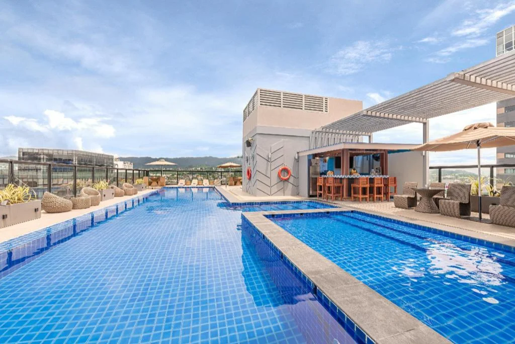
Seda Central Bloc Cebu City
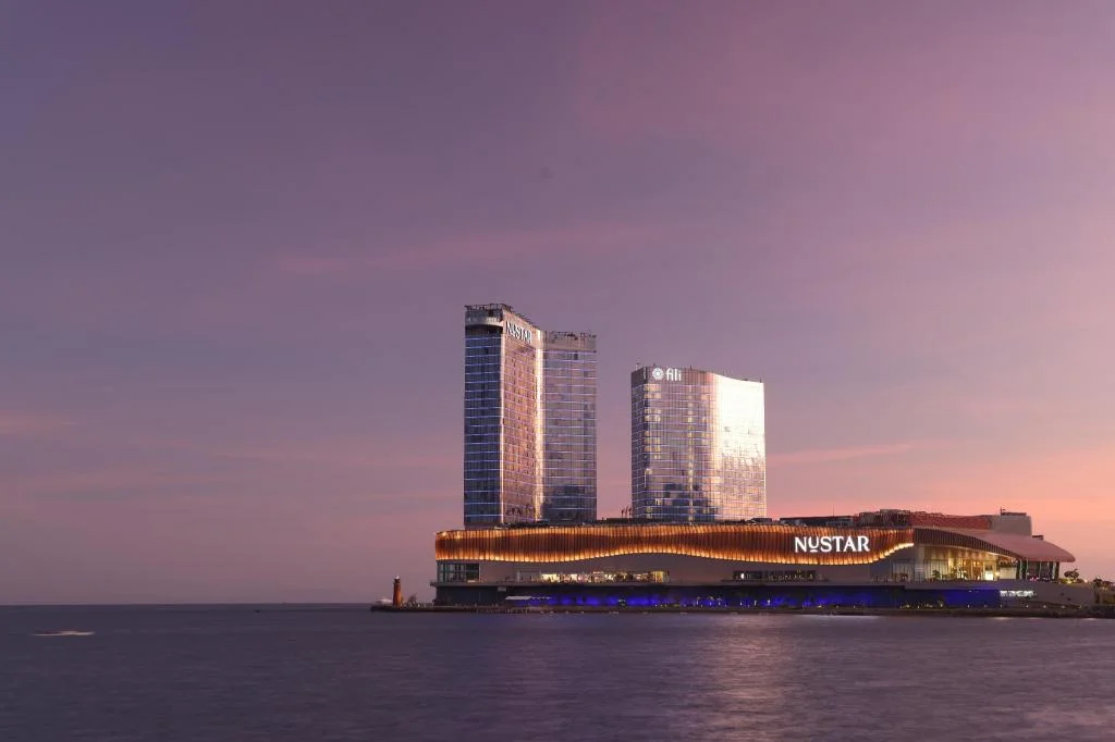
Fili Hotel - NUSTAR Resort & Casino Cebu
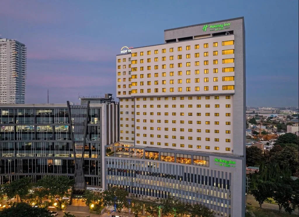
Holiday Inn Cebu City By IHG
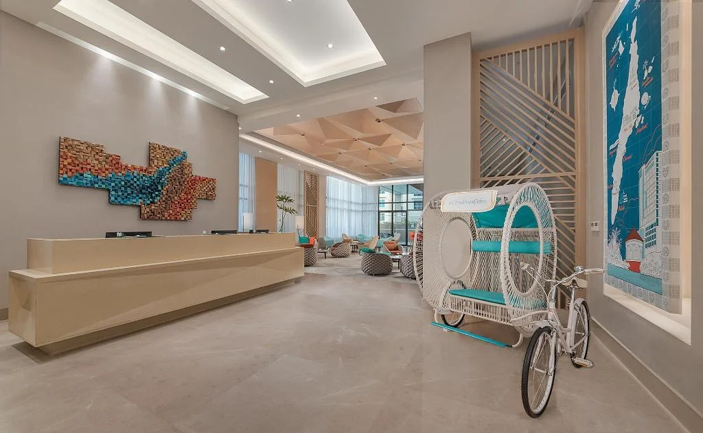
Citadines Cebu City
Prefer a rental? Vacation rentals near Cebu City
Self-catering condos and apartments — book the exact unit, kitchen included.
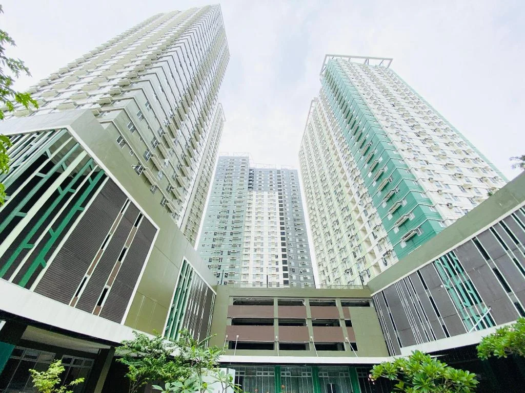
Cebu Avida Riala by P&J
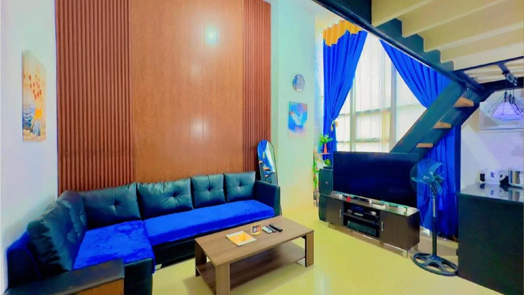
Special Big Loft Unit w/Fibreop Internet & Netflix
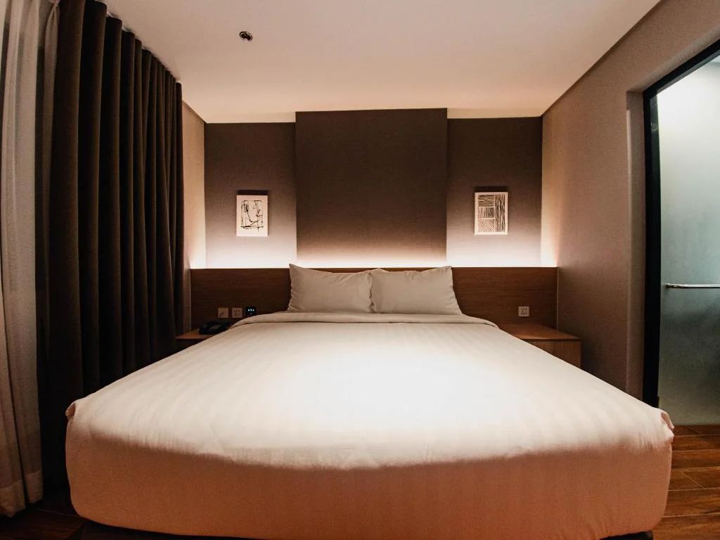
Moonstar Cebu Hotel - Deluxe Room
Before you go
Frequently asked
What is the best mountain biking route in Cebu?
How long is the 6 Towers Trail?
Can beginners ride the Transcentral Highway?
Where can you rent a mountain bike in Cebu City?
Is the Guadalupe River Loop good for casual cyclists?
What's the biggest safety risk on Cebu's cycling routes?
Do you need a mountain bike specifically, or will a road bike work?
When is the best time of day to ride in Cebu?
More Places to Explore
Mountain View Nature's Park, Busay
Cebu City
A hillside recreation park in Busay with a swimming pool, rope course, and cool city views above Cebu City.
Balamban Transcentral Highway Viewpoint
Balamban
Scenic mountain viewpoints along the Transcentral Highway offering panoramic views of both Cebu coasts and the island's dramatic highland landscapes.
Adventure Cafe and Tourist Inn
Balamban
A mountain resort with panoramic views, adventure activities like ATV and zipline, and stunning sunsets over Cebu's western coast.