Mt. Manunggal
A 982m peak in Balamban famous as the 1957 crash site of President Ramon Magsaysay's plane, now a National Historical Landmark and hiking destination.
The overview
About Mt. Manunggal
Mt. Manunggal rises 982 meters above sea level in Barangay Magsaysay, Balamban, making it the third-highest peak on Cebu Island after Osmeña Peak and Lugsangan Peak. The mountain is best known as the crash site of the presidential plane "Mt. Pinatubo," which went down on March 17, 1957, killing President Ramon Magsaysay and 24 others. The National Historical Commission of the Philippines declared the site a National Historical Landmark in 2012. At the summit campsite, a monument to President Magsaysay stands beside a recovered engine cylinder block from the wreckage, drawing history buffs alongside hikers. An annual commemorative trek is held around the anniversary of the crash, and the mountain has since become one of Cebu's most popular hiking and camping destinations, with cool highland air and wide ridge views over the island's interior. Most trekkers approach via the uplands of Tagba-o or Cantipla in Tabunan, on the Cebu City side of the range, following farm trails through onion, tomato, and cabbage plots before climbing the steeper final stretch to the summit plateau.
What makes it worth it
Highlights
- 982m summit, Cebu's third-highest peak
- 1957 Magsaysay plane crash memorial
- Recovered aircraft engine cylinder block
- National Historical Landmark since 2012
- Popular camping and sunrise trekking spot
- Annual commemorative trek to the crash site
- 1 Start early to reach the summit before midday heat and haze set in. Bring a local guide, since trail junctions on the upland farm paths can be confusing. Wear proper trekking shoes and pack rain gear, as the ridge trail turns slippery after rain. Camping is possible at the summit campsite with permission from barangay officials.
Wayfinder route
How to get there
From Cebu City, take a habal-habal or jeepney to the upland barangays of Tagba-o or Cantipla in Tabunan (about 1-1.5 hours), then trek 2-4 hours to the summit. Alternatively, arrange a habal-habal from Balamban town proper into Barangay Magsaysay for a shorter approach.
Before you go
Frequently asked
How much is the entrance fee at Mt. Manunggal?
What are the opening hours at Mt. Manunggal?
When is the best time to visit Mt. Manunggal?
How long should you spend at Mt. Manunggal?
Book tours & tickets for Mt. Manunggal
Skip-the-line tickets and guided tours with real-time prices and free cancellation on most options. Link opens in a new tab.
Book Trekking Tours on KlookAffiliate link — we may earn a small commission at no extra cost to you.
Nearby on the chart
Where to stay & eat nearby
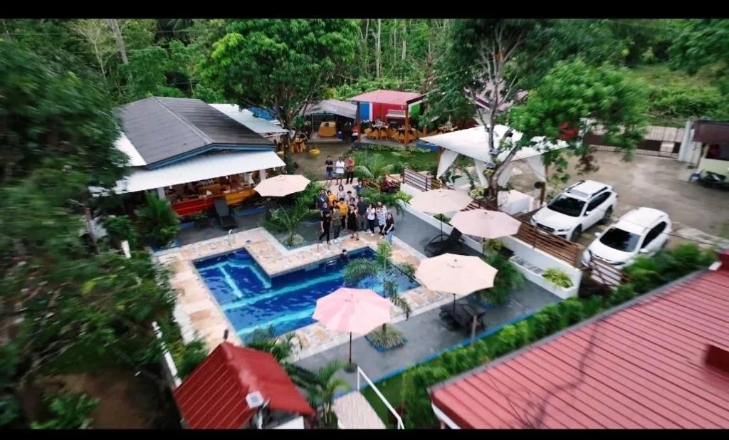
Exclusive Overnight Stay Whole Villa
Balamban
A single-unit, 5-star villa with a pool in Abucayan, Balamban, on Cebu's west coast.
View & BookWest 35 Eco Mountain Resort
Balamban
Boutique mountain resort on the Transcentral Highway with glass-walled rooms, jacuzzis and sweeping views.
View & BookSermon on the Mount Retreat Resort
Balamban
Family-friendly mountain retreat 816m above sea level with panoramic views of Mt. Manunggal.
View & Book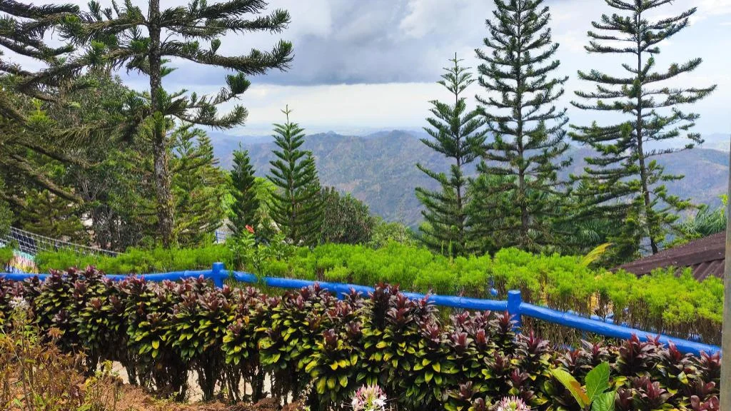
Island Skyview Resort-JVR by Hiverooms
Balamban
A Hiverooms property in Balamban on Cebu's western coast, with limited guest reviews so far.
View & BookWhere to stay near Balamban
Search live rates for hotels and rentals near Mt. Manunggal on Agoda — filter by your dates, price, and guest score.
Keep exploring
You might also like
Badian Canyoneering
Badian
An exhilarating 3-5 hour adventure through jungle canyons featuring cliff jumps, natural slides, and swimming, ending at the iconic Kawasan Falls.
Kawasan Falls Zipline
Badian
Asia's second longest dual cable zipline soaring over Kawasan Falls, offering thrilling aerial views of the turquoise waters and jungle canyon.
Adventure Cafe and Tourist Inn
Balamban
A mountain resort with panoramic views, adventure activities like ATV and zipline, and stunning sunsets over Cebu's western coast.
JVR Island in the Sky
Balamban
A surreal mountain resort with infinity pools and platforms that appear to float above the clouds, offering breathtaking views and photo opportunities.
Entrance Fee
Free; guide fee of PHP 200-300 per group recommended
Opening Hours
Daylight hours (best started early morning)
Duration
Half day to full day (4-7 hours round trip)
Difficulty
Moderate
Best Time to Visit
Dry season, December to May; start the trek before 7:00 AM
Share this destination
Planning your Cebu trip?
Our free guides cover what to do, how to get there, and where to stay across Cebu.
Explore travel guides →