
TL;DR: Bounty Beach is Malapascua’s main strip — white sand mixed with coral and pebbles, lined with dive shops and beach bars on the island’s south side. For quiet, walk north to Langob Beach (North Beach) and the small, sheltered Bantigue Cove, both far less developed. The lighthouse walk across the island takes about an hour round trip and passes Guimbitayan Beach on the way. Getting to Malapascua from Cebu City runs bus + boat, roughly ₱495–575 total (about US$8.50–10) and 4–5 hours. You don’t need to dive to enjoy this island — the beaches alone are worth the trip. Verified July 2026.
Malapascua Island is famous for one thing above all — thresher sharks at dawn — but the island itself is barely 2.5 kilometers long, ringed with beaches that have nothing to do with diving. This guide is for anyone who wants to know what’s actually on the sand: where Bounty Beach is and what it’s like, where to go if Bounty feels too built-up, what the walk to the Malapascua Lighthouse involves, and which stretches genuinely have the white powder sand the photos promise. If you’re here for thresher shark diving, that’s a separate guide — this one is about the beaches you’ll walk to between dives, or instead of them.
Malapascua Beaches at a Glance
| Beach | Where | Vibe | Best for |
|---|---|---|---|
| Bounty Beach | South side, near the port | Developed, lively, dive-shop row | First-time base, sunset drinks, snorkeling off shore |
| Langob Beach (North Beach) | North tip | Quiet, fewer boats, small guesthouses | Escaping the crowd, high-tide views |
| Bantigue Cove | Just past Langob | Small, sheltered cove | Calm swimming, shade, fewer people |
| Marquetta Beach | Same north strip as Langob | Quiet, twin coconut trees with a swing | Photos, deep water close to shore |
| Logon Beach | Near the port | Soft sand, low-key | Sunset at high tide |
| Guimbitayan Beach | Near the lighthouse | Undeveloped, local kids swim here | Combining with the lighthouse walk |
Verified July 2026.
Where Is Bounty Beach and What’s It Like?
Bounty Beach runs along Malapascua’s entire south side and is where most visitors end up staying, eating, and drinking. It’s the longest beach on the island — a wide stretch of pale sand backed by dive shops, guesthouses, restaurants, and beach bars almost end to end. The seabed here is a mix of sand, small pebbles, and patches of coral rather than pure soft sand, and the shoreline shifts noticeably between low and high tide, so water shoes are worth packing. Swimming and snorkeling straight off the beach are genuinely good — you can spot reef fish and the occasional turtle without a boat — and the water is calm because the beach faces a sheltered channel rather than open ocean. This is also the strip where dive boats launch before dawn for the thresher shark dives at Monad Shoal, so expect a steady stream of dive gear and early risers even if you’re not diving yourself.
Are There Quieter Beaches on Malapascua?
Yes — walk or tricycle to the island’s north tip for Langob Beach and Bantigue Cove, both noticeably calmer than Bounty. Langob Beach, also called North Beach, sits at the northernmost point and has a fraction of Bounty’s boat traffic and bar noise — mornings especially can feel like you have the sand to yourself, with local kids playing in the shallows rather than tour groups. It’s best at high tide, when the water reads a deeper azure and the beach opens up into a wide bay view; a handful of small guesthouses and restaurants have appeared here in recent years, but nothing on Bounty’s scale. Just past Langob, Bantigue Cove is a small, tucked-away strip of fine white sand shaped like its name suggests, sheltered from wind by trees and a curve in the coastline — a good pick if you want shade and stiller water rather than a long open beach. Nearby Marquetta Beach, on the same northern strip, is known locally for a pair of coconut trees with a rope swing and for water that goes deep quite close to the shore, so it suits confident swimmers more than waders.
What’s the Walk to Malapascua Lighthouse Like?
Budget about an hour round trip if you walk from the Bounty Beach area to the lighthouse at the island’s north end. The route crosses the island’s interior and passes near Guimbitayan Beach, an undeveloped stretch popular with local kids that has the lighthouse visible on the cliff above it from the water. A shorter, well-known access point is the trailhead near the Shipwreck Sunset Bar — search “Shipwreck Beach Trailhead” if you’re using a map app — where a short set of stairs leads up to the bar and onward toward the lighthouse itself. Because Malapascua is only about 2.5 by 1 kilometers, you can walk from one end to the other in under an hour without rushing, which makes the lighthouse an easy half-day add-on to a beach day rather than a separate excursion.
Is the Sand and Swimming Actually Good?
In the parts that get photographed — the center of Bounty Beach, Langob, and Bantigue Cove — yes, the sand is genuinely fine and pale. Away from those stretches, expect more variation: Logon Beach near the port has soft sand but is quieter and less scenic, while the island’s rockier west side (used mostly for boat docking) is not a swimming beach at all. Tide matters more here than on many Cebu beaches — Bounty’s shoreline narrows and its seabed texture becomes more obvious at low tide, while Langob’s best wide-bay views come at high tide. If a picture-perfect sandbar is the priority over a specific beach, note that Malapascua’s real postcard sand is concentrated in a few named spots rather than spread evenly around the coastline, so it’s worth walking to more than one before picking a swimming spot for the day.
How Do You Get to Malapascua’s Beaches?
Getting to the island takes a bus-then-boat combination from Cebu City, and getting around it once you’re there is mostly on foot or by tricycle. From Cebu North Bus Terminal, buses to Maya Port run about 4 hours and cost roughly ₱220 non-aircon to ₱250 aircon (about US$3.80–4.30). From Maya Port, public boats to Malapascua run from around 5:30 AM to 5:30 PM, leaving every 30–60 minutes once they have enough passengers, with a fare of about ₱200 plus a ₱75 environmental fee (roughly US$4.75 total). All told, budget ₱495–575 (about US$8.50–10) and 4–5 hours door to door — confirm current fares and schedules locally before you go, since boat departures shift with passenger numbers and weather. Once on the island, Bounty Beach, Logon, and the port area are all walkable from each other; a tricycle is the easiest way to reach Langob, Bantigue Cove, and the lighthouse trailhead if you’d rather not walk the whole island in the heat.
If you’d rather skip the DIY bus-and-boat combo, several operators bundle transfers with a Malapascua stay — check Malapascua transfer and day-trip options on Klook before you go.
The Honest Take
Bounty Beach is worth a day even if you never dive — it’s a proper white-sand strip with easy snorkeling and a good sunset — but don’t expect a deserted paradise; it’s the busiest, most built-up part of the island and it’s still growing every season. The real payoff is the north end: Langob Beach and Bantigue Cove are what Bounty probably looked like a decade or two ago, and the short walk between them plus the lighthouse makes for a full, unhurried half-day away from the dive-shop bustle. Go in the dry season (roughly December to May) for calmer water and clearer skies; outside that window, boat crossings from Maya can get rough or delayed. If your main draw is the underwater side of Malapascua rather than the sand, the thresher shark diving guide is the one to read next — this island earns its reputation below the surface as much as above it.
Combine It With the Rest of North Cebu
Malapascua pairs naturally with a wider loop through north Cebu — Bantayan and Camotes are both reachable from the same general direction if you have more than a couple of days. For where these beaches rank against the rest of the province, see our roundup of the best white sand beaches in Cebu and best islands to visit near Cebu. If you’re staying a night or two, compare places to stay near Malapascua’s beaches on Agoda before you book — the closer to Bounty or Langob, the shorter the walk with your bags.
Sources
- Cebu Insider — Malapascua beaches guide
- Cebu Insider — Maya Port to Malapascua boat schedule and fare
- Girl on a Zebra — Malapascua beaches
- Route, fare, and beach details cross-checked against 2025–2026 traveler reports; confirm current schedules and fees locally before you go. Verified July 2026.
Book Tours & Hotels for This Trip
Find and book the best deals — prices and availability update in real time. Links open in a new tab.
Where to stay near Daanbantayan
Top-rated hotels for this trip — tap through to check live rates.
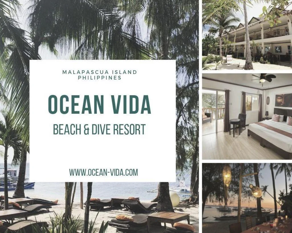
Ocean Vida Resort
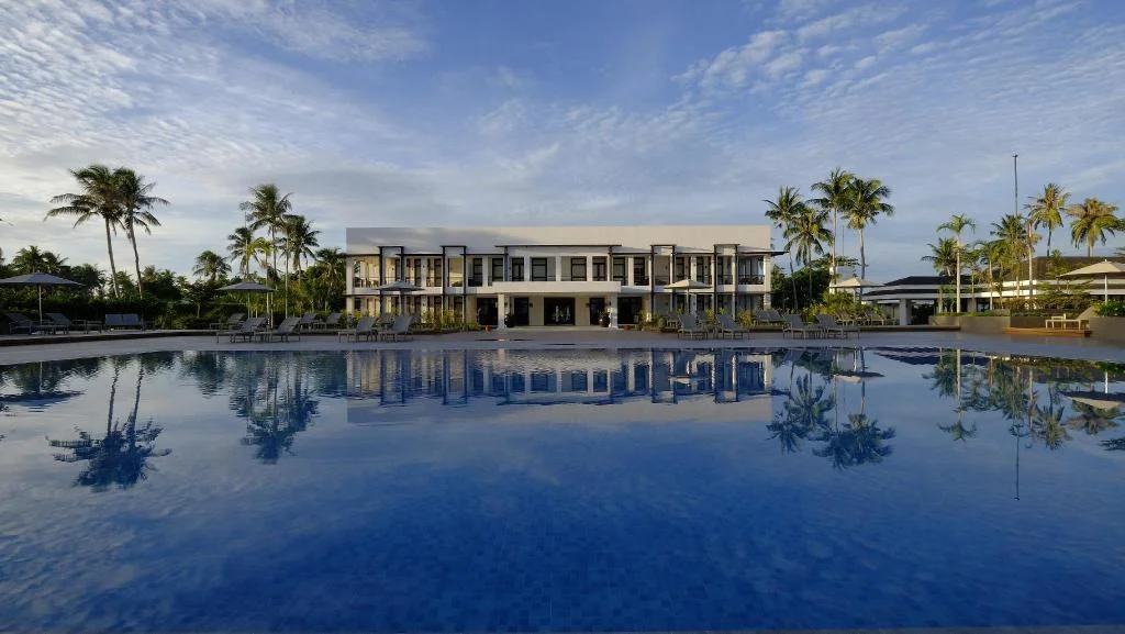
Kandaya Resort
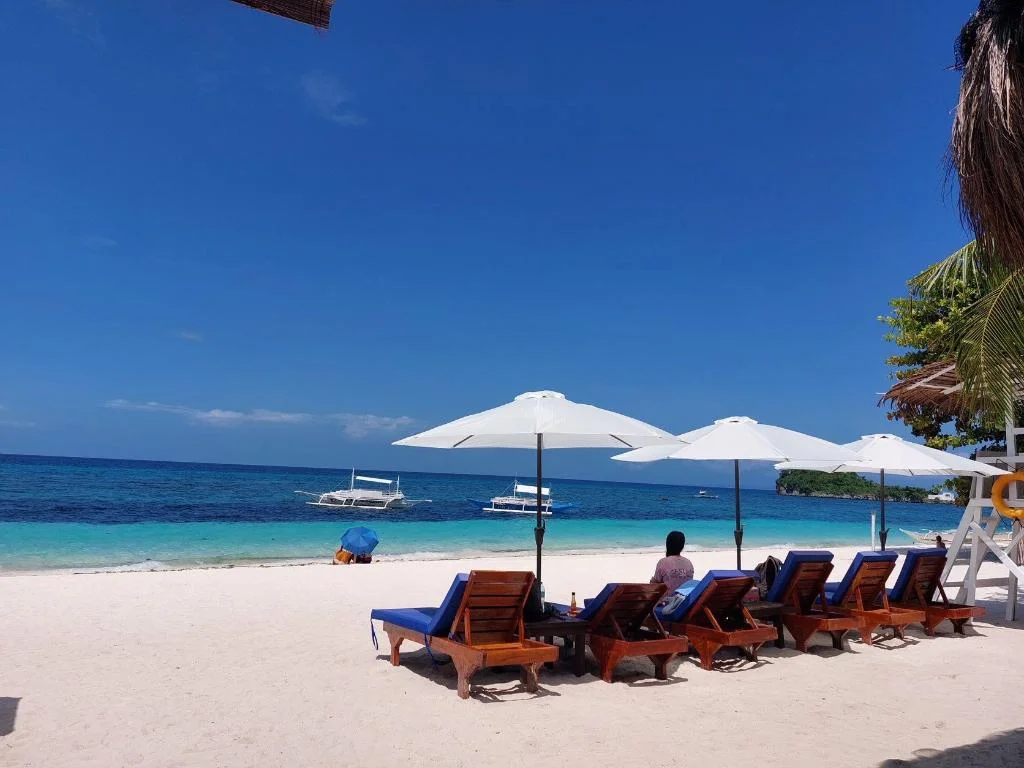
Avila's Horizon Dive Resort Malapascua
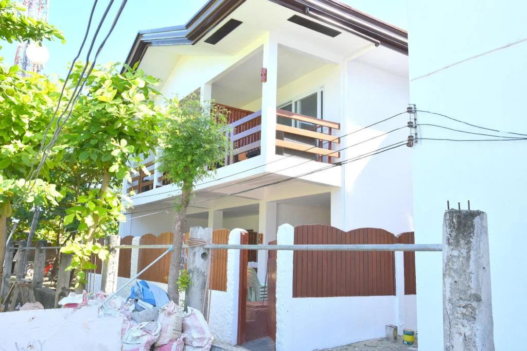
Malapatel
Prefer a rental? Vacation rentals near Daanbantayan
Self-catering condos and apartments — book the exact unit, kitchen included.
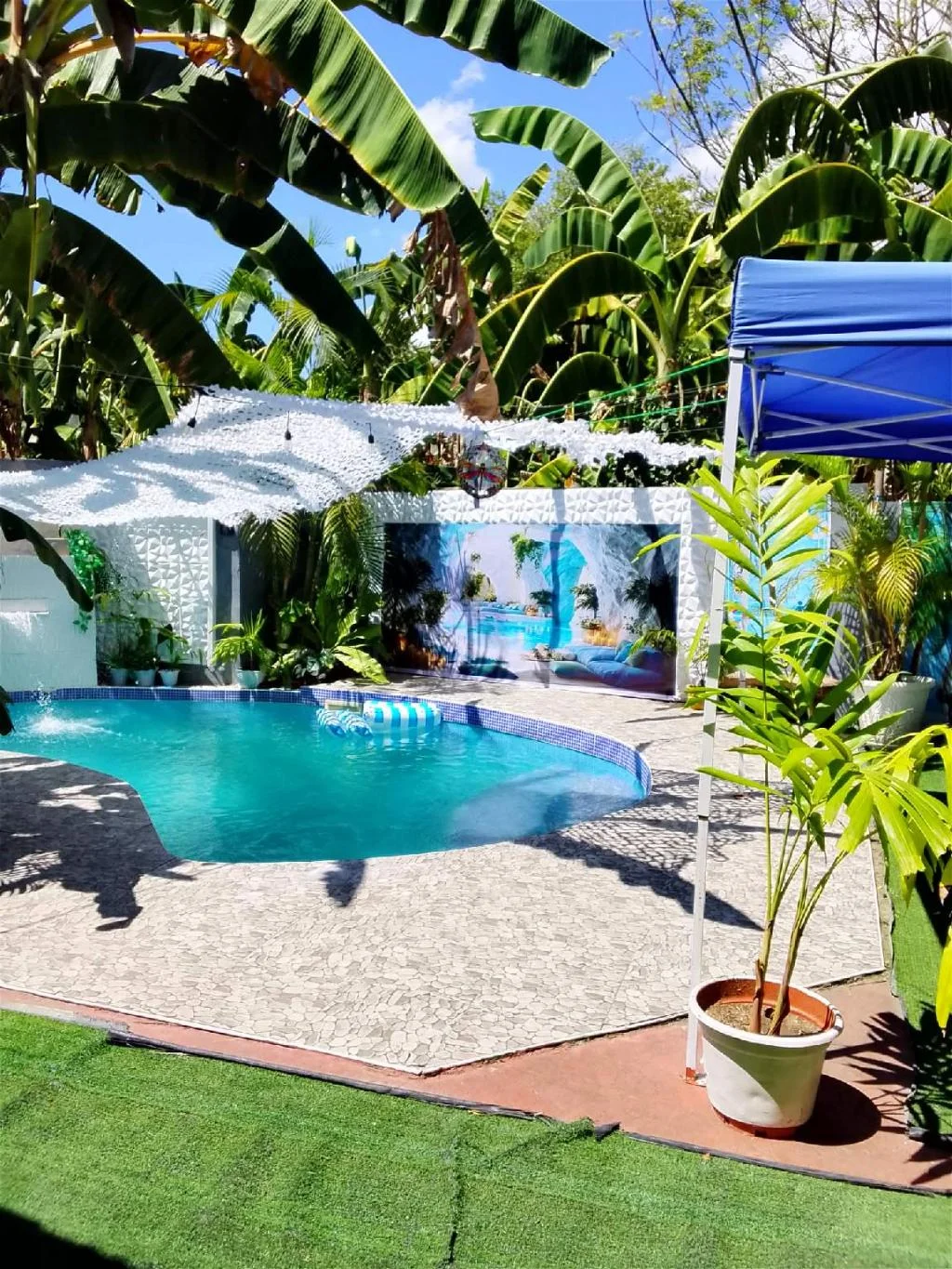
Two crazy monkeys
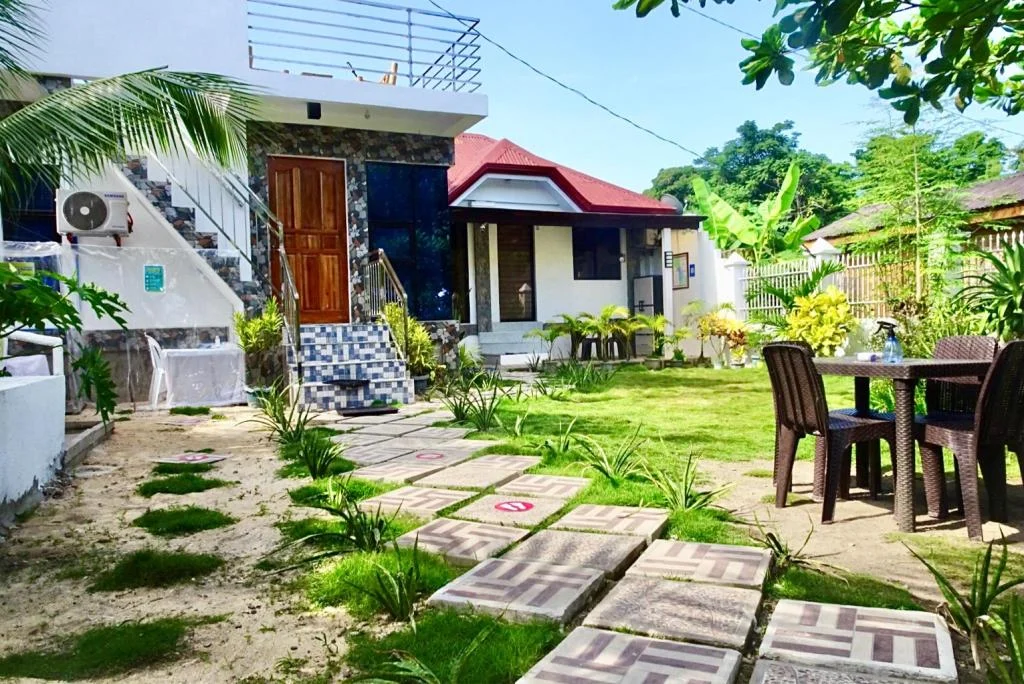
Chief's Villa 2 (Save up to50 prcnt for long term)
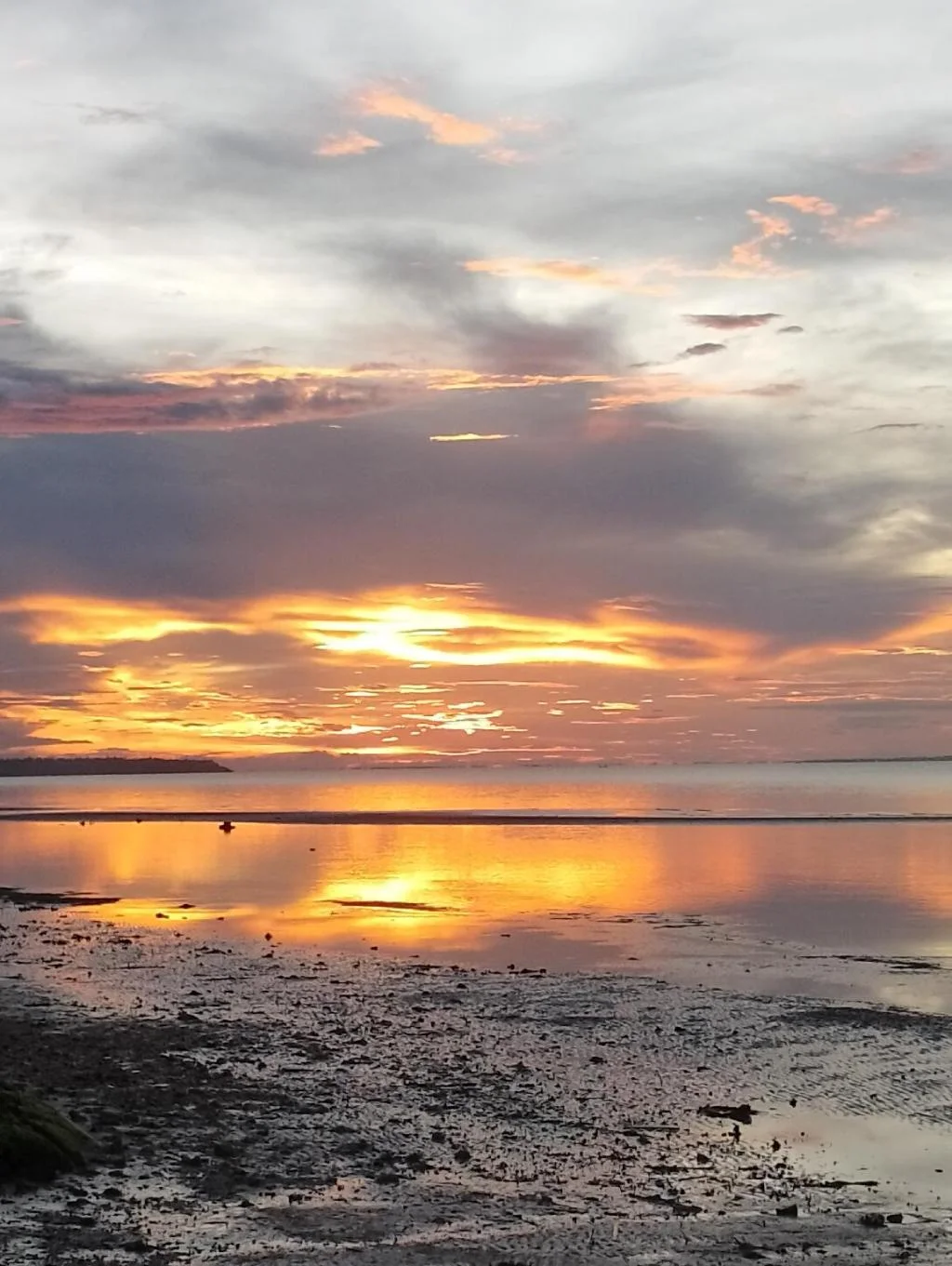
Little Sanity beach house
Before you go
Frequently asked
What is the main beach on Malapascua called?
Is Bounty Beach good for swimming?
Where can you find a quieter beach on Malapascua?
How long is the walk to Malapascua Lighthouse?
Is Malapascua's sand actually white?
Do you need a boat to island-hop from Malapascua's beaches?
How do you get to Malapascua from Cebu City?
Is Malapascua only about diving?
More Places to Explore
Bounty Beach
Daanbantayan
Malapascua's main beach featuring powdery white sand, crystal-clear waters, and a relaxed atmosphere lined with beachfront restaurants and dive shops.
Malapascua Island
Daanbantayan
A world-famous diving paradise known for thresher shark encounters, featuring beautiful white sand beaches and laid-back island vibes.
Malapascua Lighthouse
Daanbantayan
A scenic lighthouse at Malapascua's northern tip offering panoramic ocean views and stunning sunrise/sunset vistas.
Thresher Shark Diving
Daanbantayan
One of the world's only reliable locations to dive with pelagic thresher sharks at the famous Monad Shoal cleaning station.
Related Guides
- Malapascua Thresher Shark Diving: 2026 Guide
- North Cebu Travel Guide (2026): Malapascua, Bantayan & More
- The 10 Best White-Sand Beaches in Cebu (2026)
- The 10 Best Islands to Visit Near Cebu (2026)
- Malapascua 3-Day Itinerary (2026): Sharks, Sandbars & Sunsets
- Malapascua to Bantayan Island (2026): Direct Boat vs. Land Route