
TL;DR: The Spartan Trail runs from Paseo Arcenas in Banawa through the Buhisan Watershed Forest Reserve to Barangay Pamutan, and it’s the toughest “close to the city” hike Cebu has — steep loose soil, river crossings, and a few hours of real effort. It’s free to hike, a local guide costs roughly ₱200 (~US$3.45), and the habal-habal ride out of Pamutan runs ₱30–40 (~US$0.50–0.70). The catch for 2026: construction linked to the Monterrazas de Cebu expansion has already closed some access points on the connected trail network, so confirm the route is open before you commit a whole morning to it. Verified July 2026.
Cebu City has plenty of viewpoints you can reach by car, but the Spartan Trail is the one you earn. It starts in an ordinary Banawa subdivision and, within a couple of hours, drops you into forest, river crossings, and steep dirt climbs that feel a world away from the SM malls and IT Park towers below — with the same skyline visible from the ridgelines the whole way. This guide is for hikers who’ve done a beginner trail like Tops Lookout or a flower-garden stroll like Sirao Flower Garden and want something that actually works your legs, not for anyone looking for a gentle first hike. It’s also written with an honest flag: parts of the trail network the Spartan Trail runs through are currently caught up in a land-access dispute, and that matters for whether this guide is even usable a year from now.
How Do You Get to the Spartan Trail Trailhead?
The jump-off point is Paseo Arcenas in Banawa, Cebu City — about 20 to 30 minutes’ drive from downtown, plus a 20 to 30 minute walk from the highway to the actual foot of the trail. Jeepney routes 07 and 12 (both running from Carbon or Ayala) pass through Banawa; a habal-habal or Grab straight to Paseo Arcenas is faster and only marginally more expensive. If you’re driving, know before you go: overnight parking at Paseo Arcenas isn’t allowed, and cars left past midnight get clamped — fine for a pre-dawn start, not a spot to leave a vehicle for hours past midday.
Most local hikers meet up around a fast-food branch or gym near Paseo Arcenas (Rustan’s and a nearby Anytime Fitness/Concentrix lot both show up in hiker accounts as informal meeting and parking spots) before walking in together.
What Does the Route Actually Look Like?
The trail builds in difficulty the further you go, which is part of why it has two very different reputations.
The first stretch (beginner-friendly): From Paseo Arcenas, a mostly gentle path climbs past the Good Shepherd cemetery and a rest-stop viewpoint called Lantaw, where sari-sari stores sell coffee, Milo, and snacks. About 2.5 kilometers and 45 to 90 minutes in, you reach Starbuk’s — not the coffee chain, but a small mountaintop sari-sari store with a genuinely great panorama of Cebu City, plus buko juice, pancit canton, and weekend silog meals. A lot of casual hikers turn around here, and that’s a completely legitimate way to do this trail if you just want the view without the punishment.
The real Spartan Trail (advanced): Past Starbuk’s, the path drops into the Buhisan Watershed Forest Reserve, skirting the edge of the Monterrazas de Cebu development, and the character of the hike changes completely — steep dry, loose-soil climbs that call for sideways footwork and the occasional handhold, river crossings deep enough to soak your shoes, mini pools where hikers cool off, fallen trees to climb over or duck under, and thorny undergrowth. The route threads near Sitio Baksan in Sapangdaku and past sections of Langgitan Falls before the final steep push toward Barangay Pamutan, which is the standard exit point.
Total distance is reported inconsistently across sources — AllTrails logs the core route at about 4.3 kilometers, while local hiking blogs describe the fuller Banawa-to-Pamutan traverse (with side detours) at closer to 7 kilometers. Treat any number as a rough guide and budget time, not distance, for this one.
How Hard Is the Spartan Trail?
Genuinely hard, and inconsistent with how easy the first section feels. Once you’re past Starbuk’s, expect three to six hours for most hikers to reach Pamutan, though fast, experienced trail runners have finished in around two. The obstacles that make it tough: dry, crumbly soil on steep grades, river crossings, ants and biting insects, occasional fallen trees blocking the path, and hikers regularly report snake sightings in the forested stretch — so this isn’t the trail to do in sandals or with young kids. If you want the view without the ordeal, stop at Starbuk’s; if you want the “Spartan” part, budget a full morning and go with people who’ve done technical trails before.
Do You Need a Guide?
There’s no official guide desk or environmental fee booth on this trail — it’s informal, which cuts both ways. On the plus side, it’s free to hike. On the downside, the trail forks in places, the Monterrazas construction has been reshaping parts of the terrain, and getting lost in the Buhisan Watershed with no water and no phone signal is a real risk, not a hypothetical one.
Most hikers arrange a local guide at or near the trailhead for roughly ₱200 (about US$3.45) — ask around at Paseo Arcenas, or check with a Cebu hiking Facebook group before you go, since informal arrangements shift. If you’d rather have everything sorted for you, a small-group guided tour (meeting at Paseo Arcenas around 5:30 AM, roughly five hours including transport back by habal-habal and jeepney) runs from about US$36 per person — compare guided Cebu hiking tours on Klook or look for the Spartan Trail hike on GetYourGuide.
What Should You Bring?
Water is the number one thing people underestimate. There are sari-sari stores in the first 2.5 kilometers to Starbuk’s, but nothing to buy past that point, so carry more than you think you’ll need for a multi-hour trek in Cebu heat. Beyond that: shoes you’re fine getting wet (the river crossings aren’t optional), a change of socks, sun protection for the exposed early stretch, a light rain layer outside the dry months, cash (small bills, for the guide and the return habal-habal), and a fully charged phone with a downloaded offline map — signal is patchy in the watershed. Start at 5 to 6 AM; the exposed sections near Good Shepherd get brutal once the sun is fully up, and an early start also gives you daylight buffer if the hike runs long.
Is the Spartan Trail Still Open in 2026?
Mostly yes, but this is the part of the guide you shouldn’t skip. In January 2026, Barangay Tisa’s captain publicly asked Cebu City’s mayor to step in after several access points to the connected trail network — including the famous Starbuk’s viewpoint trail and the wider “spartan trails” system linking Tisa, Sitio Baksan in Sapangdaku, Buhisan, and Pamutan — were closed off due to construction tied to the Monterrazas de Cebu expansion and the adjacent Rise at Monterrazas project. Vendors along the trail have reportedly been told parts of the area may be absorbed into the developments outright. Separately, other hikers have flagged that Starbuk’s itself, the sari-sari store viewpoint that anchors the beginner section, may not survive the nearby subdivision’s expansion much longer.
None of this means the trail is closed today — as of writing, the Banawa-to-Pamutan route is still passable and actively used. But it does mean this guide could go stale faster than most, and it’s exactly the kind of situation where a five-minute check before you drive out (a barangay hall, a local hiking group, or your guide) saves you a wasted morning.
The Honest Take
The Spartan Trail earns its reputation — it’s one of the few hikes in Metro Cebu that genuinely tests you without requiring a full-day trip out of the city, and the contrast between the malls at the bottom of the hill and the forest and river crossings twenty minutes up it is part of the appeal. But go in with realistic expectations: this isn’t a manicured eco-park trail, there’s no rescue infrastructure, and the ongoing land dispute over Monterrazas de Cebu’s expansion means the trail’s future is genuinely uncertain, not a marketing exaggeration. If you only want the view, stop at Starbuk’s and skip the risk of the deeper trail. If you want the full Spartan Trail experience, go with a guide or an experienced group, start early, and don’t treat any online guide (including this one) as guaranteed accurate about current access — verify locally first. Skip it entirely during or right after heavy rain; the river crossings and loose-soil climbs get genuinely dangerous when the trail is saturated.
Round Out Your Cebu City Hill Trip
If the Spartan Trail access situation is unclear when you visit, or you just want a gentler day in Cebu City’s uplands, the Sirao Flower Garden and Tops Lookout sit in the same general Cebu City hill country and make an easy half-day alternative — see our Cebu City to Sirao, Tops, and Busay loop for how to combine them. For more options at different difficulty levels, check our roundups of the best hikes in Cebu, the best beginner hikes near Cebu City, and the best viewpoints in Cebu City. Need somewhere to stay before an early trailhead start? Search Cebu City hotels on Agoda for something close to Banawa or downtown.
Sources
- Barangay Tisa asks Mayor Archival to help keep the Starbuk’s trail open — Proud Bisaya Bai, January 2026 (2026 access dispute, Sitio Baksan/Sapangdaku, Monterrazas de Cebu expansion)
- Spartan Trail: Cebu’s secret reset — SunStar Cebu, February 2026 (route, Langgitan Falls, trail conditions)
- Thinking of going on a trail run or a trail hike? Try the Spartan Trail in Cebu City — Cebu Daily News (trailhead, duration, guide fee, return fare)
- Starbuk’s Cebu: How to Hike Cebu’s Most Famous Trail — PhilippineTravels.ph (jump-off transport, distance, amenities, closure risk)
- Spartan Trail, Cebu, Philippines — AllTrails (distance/duration benchmark)
- Cebu Spartan Trail Guided Hike with Views of Cebu City — GetYourGuide listing (guided tour price and format)
- Route and difficulty details cross-checked against multiple 2017–2025 first-hand hiker reports (Bisaya Traveler, Dakilanglaagan, The Fickle Feet). Verified July 2026.
Book Tours & Hotels for This Trip
Find and book the best deals — prices and availability update in real time. Links open in a new tab.
Where to stay near Cebu City
Top-rated hotels for this trip — tap through to check live rates.
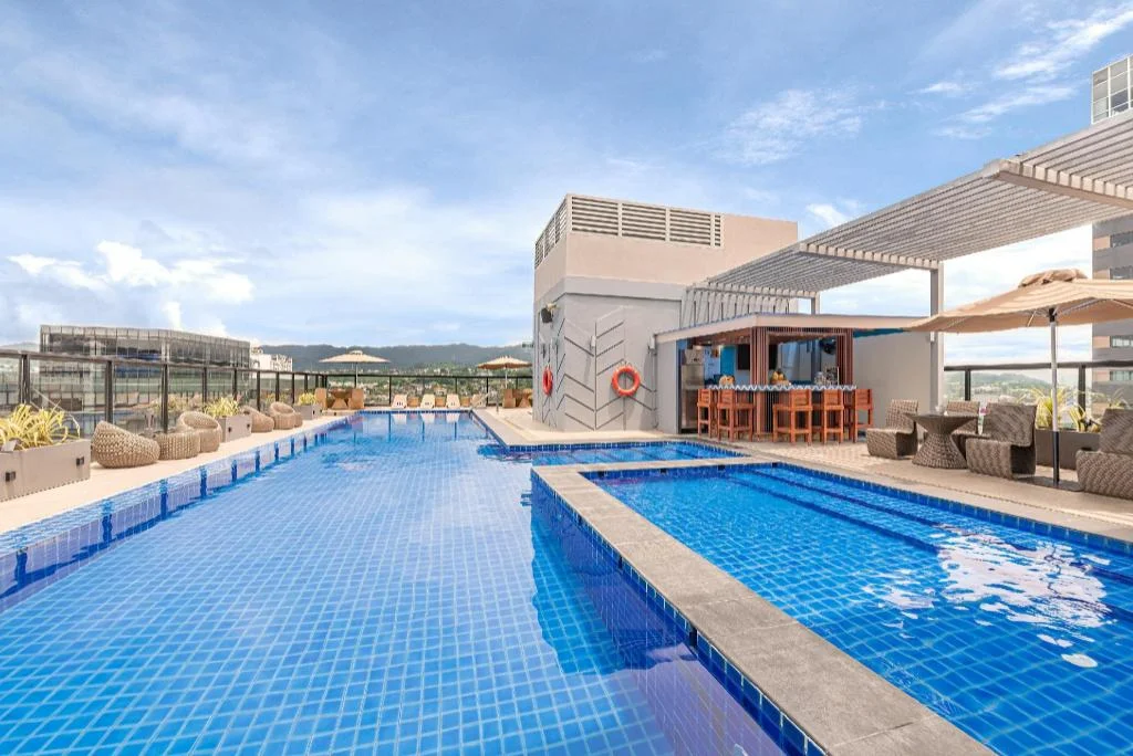
Seda Central Bloc Cebu City

Fili Hotel - NUSTAR Resort & Casino Cebu

Holiday Inn Cebu City By IHG

Citadines Cebu City
Prefer a rental? Vacation rentals near Cebu City
Self-catering condos and apartments — book the exact unit, kitchen included.
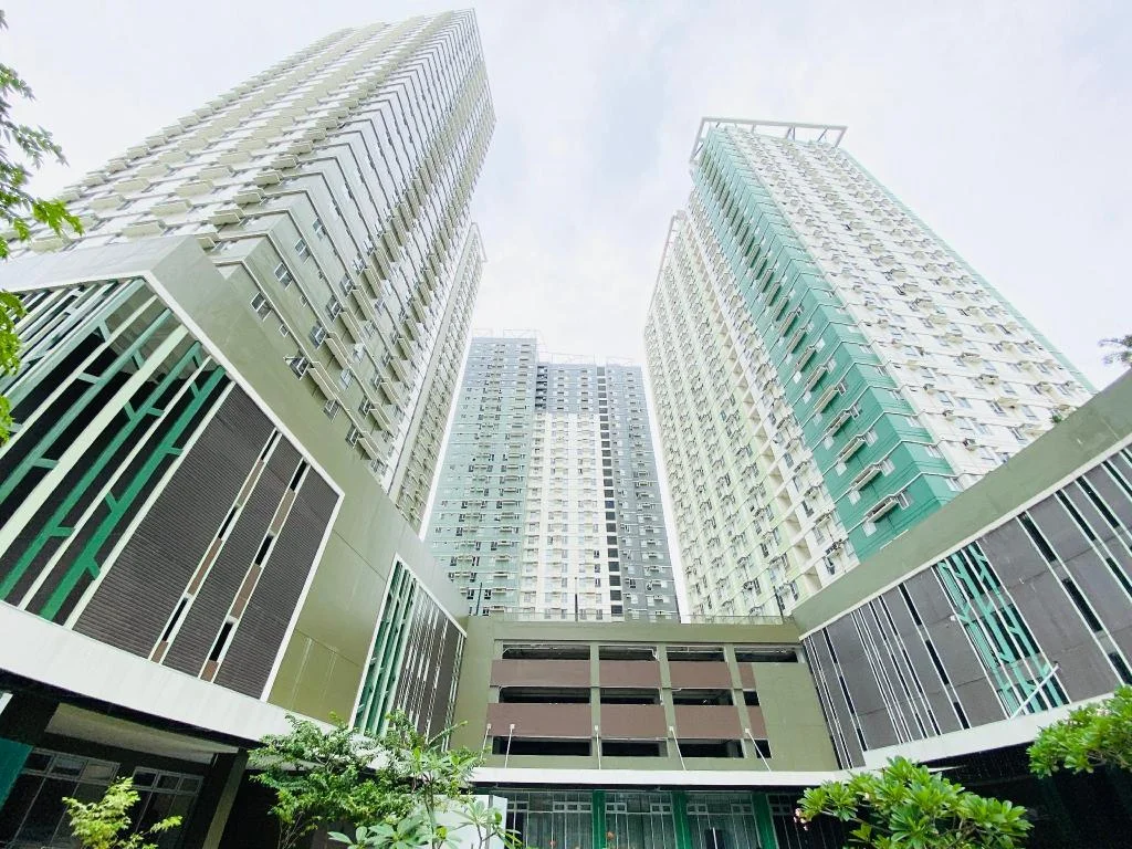
Cebu Avida Riala by P&J

Special Big Loft Unit w/Fibreop Internet & Netflix

Moonstar Cebu Hotel - Deluxe Room
Before you go
Frequently asked
Where does the Spartan Trail start?
How hard is the Spartan Trail?
Do you need a guide for the Spartan Trail?
How much does it cost to hike the Spartan Trail?
Is the Spartan Trail still open in 2026?
What should you bring on the Spartan Trail?
Can beginners hike the Spartan Trail?
How do you get back to the city after finishing at Pamutan?
More Places to Explore
Tops Lookout
Cebu City
Cebu City's premier hilltop viewpoint offering stunning panoramic views of the city, especially spectacular at sunset and nighttime.
Sirao Flower Garden
Cebu City
Cebu's 'Little Amsterdam' - a colorful flower farm featuring seas of celosia blooms set against a scenic mountain backdrop.