Mount Bandilaan
An easy-to-reach highland peak in Cabatbatan with sweeping views toward Bohol, Negros, and Mactan.
The overview
About Mount Bandilaan
Mount Bandilaan is an easily accessible highland peak in Barangay Cabatbatan, San Fernando, long used as a natural viewdeck by early settlers and, according to local historians, by guerrilla forces watching for Japanese movements during World War II. The name comes from bandila (flag), recalling how early rulers planted flags at the summit to mark the area. The hike itself is short, taking only a minute or two of walking once visitors are dropped off, making it accessible even to those with no hiking experience. From the top, the view stretches across San Fernando's highlands to Bohol, Negros, and Mactan, with the cities of Naga, Talisay, and Cebu visible on clear days; some visitors report catching both sunrise and sunset from the same spot. The municipal government has flagged the site for development into a proper campsite with an activity center, though for now it remains a simple, undeveloped hilltop reached by a bumpy habal-habal ride.
What makes it worth it
Highlights
- Panoramic views of Bohol, Negros, and Mactan
- Historic WWII-era guerrilla viewdeck
- Very short, beginner-friendly summit walk
- Sunrise and sunset viewing spot
- Popular camping destination
- Rough but scenic habal-habal approach
- 1 Bring a flashlight if camping overnight, as the site has no lighting or facilities yet. Wear closed shoes for the muddy, bumpy habal-habal leg near the peak. Coordinate a pickup time with your habal-habal driver if not staying overnight. Location approximate — confirm on arrival.
Wayfinder route
How to get there
From Cebu City South Bus Terminal, take a bus to San Fernando proper (~1.5-2 hours) and disembark near San Fernando Church. From there, hire a habal-habal to Barangay Cabatbatan / Sitio Bandilaan (~30 minutes on partly rough roads).
Before you go
Frequently asked
How much is the entrance fee at Mount Bandilaan?
What are the opening hours at Mount Bandilaan?
When is the best time to visit Mount Bandilaan?
How long should you spend at Mount Bandilaan?
Book tours & tickets for Mount Bandilaan
Skip-the-line tickets and guided tours with real-time prices and free cancellation on most options. Link opens in a new tab.
Book Trekking Tours on KlookAffiliate link — we may earn a small commission at no extra cost to you.
Nearby on the chart
Where to stay & eat nearby
Pulchra Resort
San Fernando
Five-star beachfront resort in San Fernando with luxury villas, suites and a private stretch of beach.
View & Book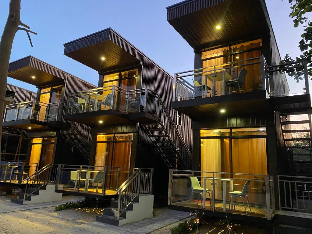
Hostel Asilda
San Fernando
A budget hostel near Langtad Bridge in San Fernando, south of Cebu City, rated 7.8 out of 10.
View & Book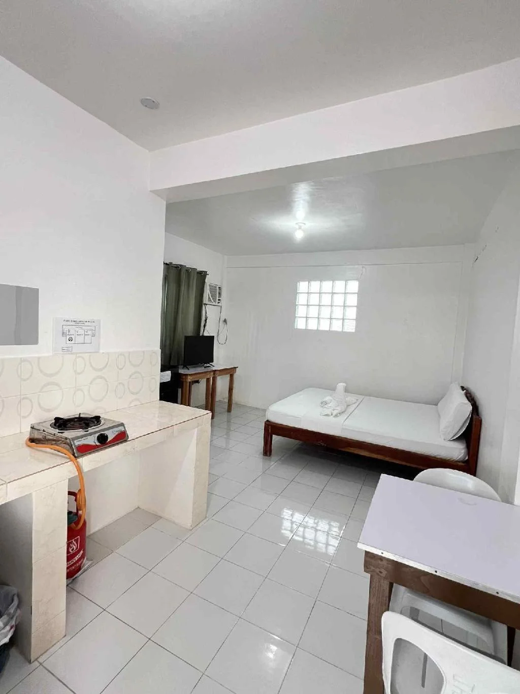
RB BARUIZ INN
San Fernando
A 12-room inn in Barangay Jaguar, San Fernando, a southern Cebu town, rated 8.8 out of 10.
View & Book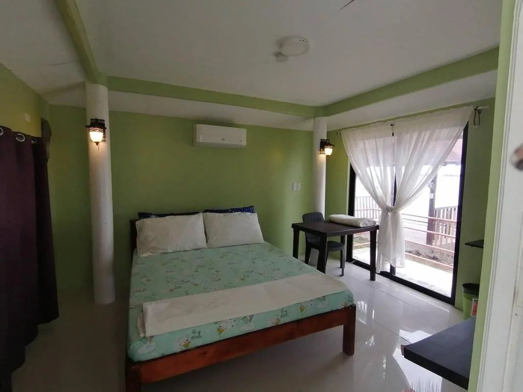
Welcoming 1-bedroom and breakfast with pool
San Fernando
A one-bedroom villa in San Fernando offering breakfast, a pool, and simple home-style comforts.
View & BookWhere to stay near San Fernando
Search live rates for hotels and rentals near Mount Bandilaan on Agoda — filter by your dates, price, and guest score.
Keep exploring
You might also like
Badian Canyoneering
Badian
An exhilarating 3-5 hour adventure through jungle canyons featuring cliff jumps, natural slides, and swimming, ending at the iconic Kawasan Falls.
Kawasan Falls Zipline
Badian
Asia's second longest dual cable zipline soaring over Kawasan Falls, offering thrilling aerial views of the turquoise waters and jungle canyon.
Mt. Manunggal
Balamban
A 982m peak in Balamban famous as the 1957 crash site of President Ramon Magsaysay's plane, now a National Historical Landmark and hiking destination.
Mt. Mauyog
Balamban
A steep 1,027m Balamban peak known for its brain-shaped summit rock formation, popular with experienced trekkers.
Entrance Fee
Free (confirm locally if a camping fee applies)
Opening Hours
Open 24 hours (public area)
Duration
1-2 hours
Difficulty
Easy
Best Time to Visit
Dry season (December-May) for clear views; early morning or late afternoon for sunrise/sunset.
Share this destination
Planning your Cebu trip?
Our free guides cover what to do, how to get there, and where to stay across Cebu.
Explore travel guides →