Mount Lantawan
A steep, little-visited 560-meter peak near Danao City known for its dragon-shaped ridge and highland views.
The overview
About Mount Lantawan
Mount Lantawan is a 560-meter peak in the uplands of Barangay Cahumayan, Danao City, best known locally for its jagged, dragon-like ridgeline, which is especially visible when viewed from nearby Mount Manghilao. It sits farther inland than its better-known neighbor and sees far fewer visitors, making it more of a hidden-gem hike for those who have already done the more popular pilgrimage climb. The trail starts near a chapel in Cahumayan, reached by a concrete road that branches off from the route toward Manghilao's base. From there the path turns steep and bushy, with sharp inclines, loose rock, and thick, prickly vegetation that has scratched up more than one hiker's arms and legs. The climb to the summit takes roughly an hour and is rated a moderate-to-challenging scramble rather than a casual walk; a local guide is worth arranging since the trail is not signposted. The payoff is a narrow ridge with sweeping views over Danao's highlands toward the Camotes Sea, quieter and less developed than Manghilao's cross-marked summit, with no facilities or crowds. Many hikers combine the two peaks into a single long day trip out of Danao.
What makes it worth it
Highlights
- Distinctive dragon-shaped ridgeline
- 560-meter summit in Barangay Cahumayan
- Quiet, less-visited alternative to Mount Manghilao
- Steep, bushy trail for a proper scramble
- Views over Danao's uplands toward the Camotes Sea
- Often paired with Manghilao in a single day trip
- 1 Arrange a local guide in Cahumayan since the trail is unmarked and easy to lose. Wear long sleeves and pants for thick, prickly brush, plus shoes with good grip for loose rock on the steep sections. Start early to leave enough daylight for the descent, especially if pairing the climb with Mount Manghilao. Location approximate — confirm on arrival.
Wayfinder route
How to get there
From Cebu City, take a bus or jeepney to Danao City (about 1-1.5 hours, PHP 35-40). From Danao's town proper, take a habal-habal to Barangay Cahumayan (about 30-40 minutes, PHP 50-60), where the trail starts near the barangay chapel.
Before you go
Frequently asked
How much is the entrance fee at Mount Lantawan?
What are the opening hours at Mount Lantawan?
When is the best time to visit Mount Lantawan?
How long should you spend at Mount Lantawan?
Book tours & tickets for Mount Lantawan
Skip-the-line tickets and guided tours with real-time prices and free cancellation on most options. Link opens in a new tab.
Book Trekking Tours on KlookAffiliate link — we may earn a small commission at no extra cost to you.
Nearby on the chart
Where to stay & eat nearby
Danasan Eco Adventure Park
Danao City
Premier adventure park with zipline, skybike, rappelling, and more.
View & Book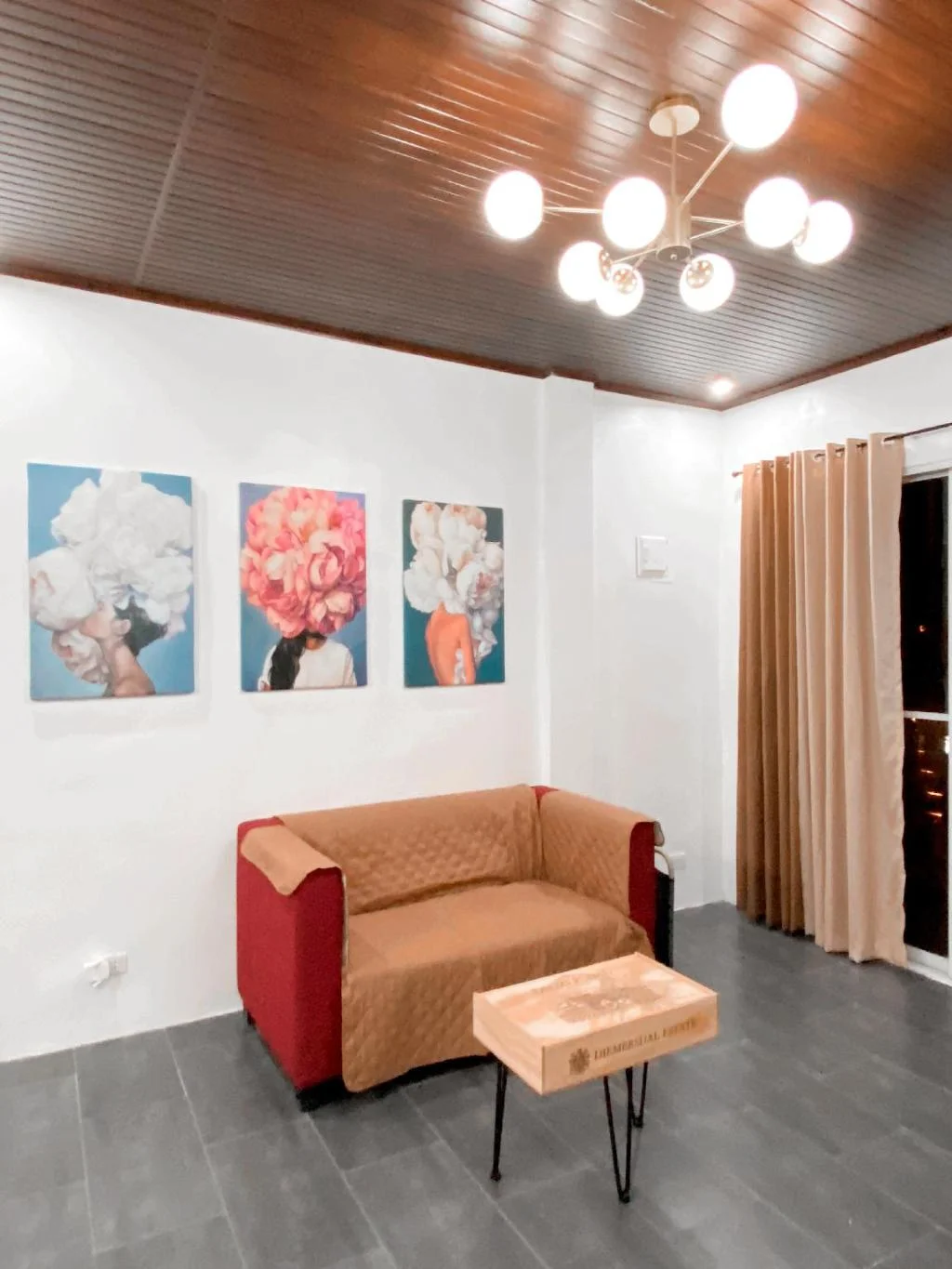
A charming-stylish 3BR-Home w/Oceanview
Danao City
Three-bedroom oceanview house rental in Danao City with a shared kitchen for self-catering.
View & BookComotes Island Day Tours from Danao
Danao City
Day trip packages to Camotes Islands with ferry and island tours.
View & BookDanao Coco Palms Resort
Danao City
Family resort in Sabang with a water park, infinity pool, and slide pool along the north highway.
View & BookWhere to stay near Danao City
Search live rates for hotels and rentals near Mount Lantawan on Agoda — filter by your dates, price, and guest score.
Keep exploring
You might also like
Badian Canyoneering
Badian
An exhilarating 3-5 hour adventure through jungle canyons featuring cliff jumps, natural slides, and swimming, ending at the iconic Kawasan Falls.
Kawasan Falls Zipline
Badian
Asia's second longest dual cable zipline soaring over Kawasan Falls, offering thrilling aerial views of the turquoise waters and jungle canyon.
Mt. Manunggal
Balamban
A 982m peak in Balamban famous as the 1957 crash site of President Ramon Magsaysay's plane, now a National Historical Landmark and hiking destination.
Mt. Mauyog
Balamban
A steep 1,027m Balamban peak known for its brain-shaped summit rock formation, popular with experienced trekkers.
Entrance Fee
Free; optional local guide fee (negotiate on site, roughly PHP 200-300)
Opening Hours
Daylight hours; best started in the early morning
Duration
2-4 hours
Difficulty
Moderate
Best Time to Visit
Dry season (November-May), early morning start recommended
Share this destination
Planning your Cebu trip?
Our free guides cover what to do, how to get there, and where to stay across Cebu.
Explore travel guides →