Mt. Naupa
A 584-meter peak in Naga City known for its grassy summit campsite, panoramic views, and occasional sea-of-clouds mornings.
The overview
About Mt. Naupa
Mt. Naupa rises to 584 meters above sea level on the boundary of Barangay Cogon and Barangay Lanas, making it the third-highest point in the City of Naga. It has become one of the go-to weekend hiking and camping destinations for Cebuanos looking for a quick escape from the city without a long drive south. Two trails lead to the grassy summit: a short but steep climb from Barangay Cogon, and a gentler, rolling approach from Barangay Lanas. Either way, most hikers reach the top within about an hour. The open summit serves as a popular overnight campsite, with a 360-degree view over Naga's rooftops, farmland, and the coastline beyond. On cool mornings, usually after light rain, the valley below can fill with a temporary sea of clouds, one of the mountain's most photographed features, though there is no way to predict when it will appear. Naupa is also a common jump-off for combining nearby minor peaks in Naga's uplands into a single day's trek.
What makes it worth it
Highlights
- 584-meter summit, Naga's third-highest peak
- Popular overnight camping site
- 360-degree panoramic views
- Occasional sea of clouds phenomenon
- Two trail options via Cogon or Lanas
- Accessible day or night
- 1 Bring a tent and warm layers if camping overnight, since the exposed summit gets breezy after dark. The Cogon trail is shorter but steeper, while the Lanas side offers a gentler, rolling ascent. Sea of clouds sightings are unpredictable and most likely at sunrise during cooler months, so treat it as a bonus rather than a guarantee.
Wayfinder route
How to get there
From Cebu City South Bus Terminal, take a bus or V-hire bound for Naga (30-45 minutes) and get off at the city proper. From there, ride a habal-habal or tricycle to Barangay Cogon or Barangay Lanas (15-20 minutes) to reach the jump-off point.
Before you go
Frequently asked
How much is the entrance fee at Mt. Naupa?
What are the opening hours at Mt. Naupa?
When is the best time to visit Mt. Naupa?
How long should you spend at Mt. Naupa?
Book tours & tickets for Mt. Naupa
Skip-the-line tickets and guided tours with real-time prices and free cancellation on most options. Link opens in a new tab.
Book Trekking Tours on KlookAffiliate link — we may earn a small commission at no extra cost to you.
Nearby on the chart
Where to stay & eat nearby
Villa Dulce Resort
Naga City
Hilltop mountain resort in Pangdan with a swimming pool and valley views.
View & Book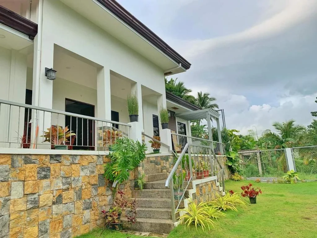
A Fresh Escape from city noises
Naga City
A private villa in Naga City with parking, air conditioning, and in-room TV.
View & BookCitrus Oasis Private Resort
Naga City
Private resort in Naga City, Cebu, catering to families and group getaways.
View & Book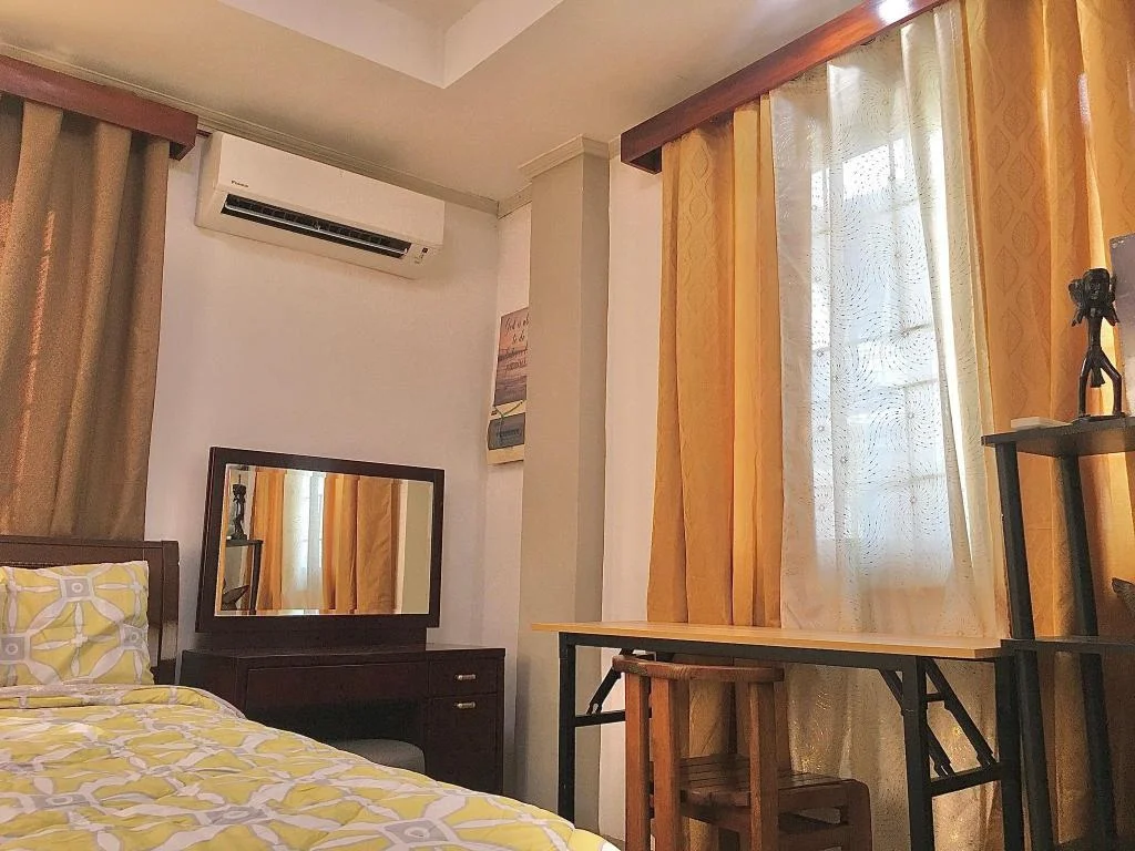
Gally & Grace Apartment
Naga City
An entire house rental on Mendoza Street, Naga City, Cebu.
View & BookWhere to stay near Naga City
Search live rates for hotels and rentals near Mt. Naupa on Agoda — filter by your dates, price, and guest score.
Keep exploring
You might also like
Badian Canyoneering
Badian
An exhilarating 3-5 hour adventure through jungle canyons featuring cliff jumps, natural slides, and swimming, ending at the iconic Kawasan Falls.
Kawasan Falls Zipline
Badian
Asia's second longest dual cable zipline soaring over Kawasan Falls, offering thrilling aerial views of the turquoise waters and jungle canyon.
Mt. Manunggal
Balamban
A 982m peak in Balamban famous as the 1957 crash site of President Ramon Magsaysay's plane, now a National Historical Landmark and hiking destination.
Mt. Mauyog
Balamban
A steep 1,027m Balamban peak known for its brain-shaped summit rock formation, popular with experienced trekkers.
Entrance Fee
Free
Opening Hours
Open 24 hours (accessible day or night)
Duration
Half day, or overnight for camping
Difficulty
Moderate
Best Time to Visit
Early morning for a chance at the sea of clouds; November to February for cooler trekking weather.
Share this destination
Planning your Cebu trip?
Our free guides cover what to do, how to get there, and where to stay across Cebu.
Explore travel guides →