Pangilatan Peak
A modest 260-meter summit near the Naga-Minglanilla boundary offering wide views for a quick, beginner-friendly climb.
The overview
About Pangilatan Peak
Pangilatan Peak is a modest summit of roughly 260 meters in Sitio Pangilatan, Barangay Inayagan, near the boundary between Naga City and Minglanilla. It remains largely off the radar even for many local hikers, which keeps its trail quiet compared to better-known Cebu peaks. The climb is short and fairly easy, following an open, grassy path with little to no shade along the way. At the top, hikers are rewarded with a wide 360-degree view that takes in Cebu City in the distance, the Naga coastline and boardwalk, and neighboring Minglanilla below. Because the peak is unmarked and not widely signposted, most visitors start from Barangay Tungkop on the Minglanilla side, hiring a habal-habal to reach the trailhead in Sitio Pangilatan before continuing on foot. The hike is often paired with nearby Mt. Magdook for a fuller day of trekking in Naga's uplands.
What makes it worth it
Highlights
- Approx. 260-meter beginner-friendly summit
- 360-degree views of Cebu City, Naga, and Minglanilla
- Short, open, grassy trail
- Quiet, lesser-known hiking spot
- Often paired with nearby Mt. Magdook
- Popular jump-off via Barangay Tungkop
- 1 Climb early morning or late afternoon since the summit has no trees or shade. Bring at least 2 liters of water and sun protection. The trail isn't clearly marked, so ask locals in Barangay Tungkop for directions to Sitio Pangilatan or hire a habal-habal driver familiar with the route. Location approximate — confirm on arrival.
Wayfinder route
How to get there
From Cebu City South Bus Terminal, ride a bus or jeepney toward Naga/Minglanilla (30-40 minutes) and alight at Barangay Tungkop. From there, take a habal-habal (around PHP 50) toward Sitio Pangilatan in Barangay Inayagan, Naga, where the trail begins.
Before you go
Frequently asked
How much is the entrance fee at Pangilatan Peak?
What are the opening hours at Pangilatan Peak?
When is the best time to visit Pangilatan Peak?
How long should you spend at Pangilatan Peak?
Book tours & tickets for Pangilatan Peak
Skip-the-line tickets and guided tours with real-time prices and free cancellation on most options. Link opens in a new tab.
Book Trekking Tours on KlookAffiliate link — we may earn a small commission at no extra cost to you.
Nearby on the chart
Where to stay & eat nearby
Villa Dulce Resort
Naga City
Hilltop mountain resort in Pangdan with a swimming pool and valley views.
View & Book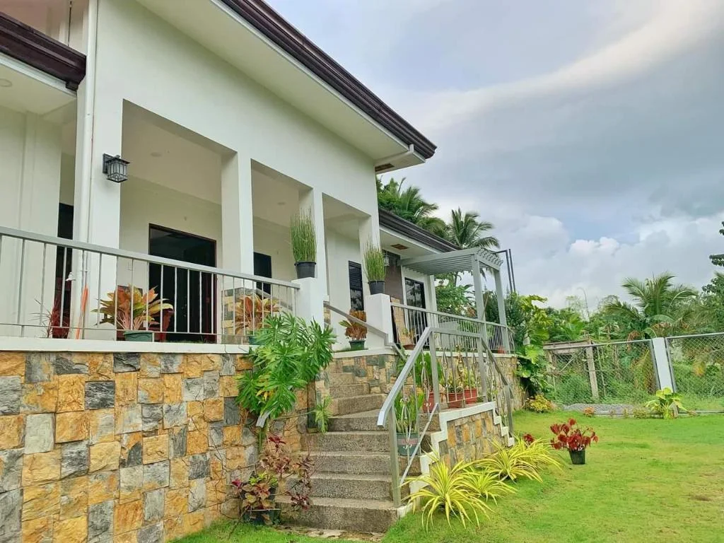
A Fresh Escape from city noises
Naga City
A private villa in Naga City with parking, air conditioning, and in-room TV.
View & BookCitrus Oasis Private Resort
Naga City
Private resort in Naga City, Cebu, catering to families and group getaways.
View & Book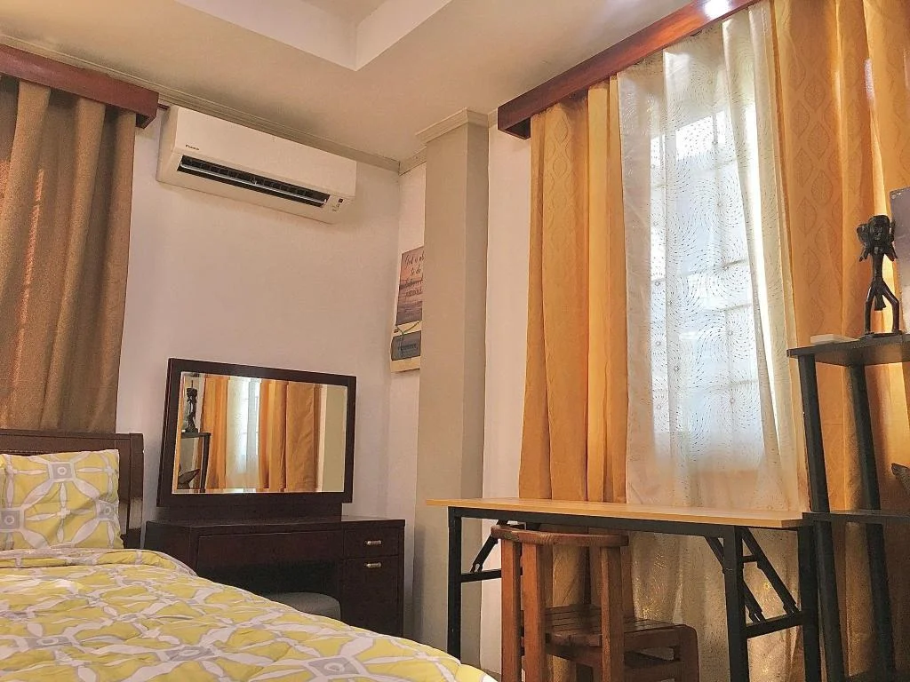
Gally & Grace Apartment
Naga City
An entire house rental on Mendoza Street, Naga City, Cebu.
View & BookWhere to stay near Naga City
Search live rates for hotels and rentals near Pangilatan Peak on Agoda — filter by your dates, price, and guest score.
Keep exploring
You might also like
Badian Canyoneering
Badian
An exhilarating 3-5 hour adventure through jungle canyons featuring cliff jumps, natural slides, and swimming, ending at the iconic Kawasan Falls.
Kawasan Falls Zipline
Badian
Asia's second longest dual cable zipline soaring over Kawasan Falls, offering thrilling aerial views of the turquoise waters and jungle canyon.
Mt. Manunggal
Balamban
A 982m peak in Balamban famous as the 1957 crash site of President Ramon Magsaysay's plane, now a National Historical Landmark and hiking destination.
Mt. Mauyog
Balamban
A steep 1,027m Balamban peak known for its brain-shaped summit rock formation, popular with experienced trekkers.
Entrance Fee
Free
Opening Hours
Daylight hours
Duration
1-2 hours
Difficulty
Easy
Best Time to Visit
Early morning or late afternoon to avoid midday heat; dry season from December to May.
Share this destination
Planning your Cebu trip?
Our free guides cover what to do, how to get there, and where to stay across Cebu.
Explore travel guides →