
TL;DR: On Sinulog Grand Parade day (Sunday, Jan 17, 2027, by 2026 precedent), the downtown carousel route seals to traffic from 4:00-5:00 AM; Colon Street stays open. Grab and taxis can’t reach the route once the cordon is up, and fares surge. Park at SM City Cebu or Ayala Center and walk in. Verified July 2026.
On Grand Parade day itself — Sunday, January 17, 2027, by the 2026 precedent — Sinulog turns the heart of Cebu City into a pedestrian-only zone for the better part of a day, and getting that wrong — assuming your Grab can drop you at the door, or that a hotel “near downtown” means a five-minute drive — is the single most common planning mistake first-timers make. This guide lays out exactly which roads close and when, why ride-hailing apps fail you on parade day, where to actually park, and how to plan the trip in from Mactan-Cebu International Airport, including South Bus Terminal’s weekend relocation to the SRP. It’s the logistics companion to our main Sinulog Festival guide.
Sinulog Road Closures & Zones, at a Glance
| Zone / Road | Status on parade day | Notes |
|---|---|---|
| Osmeña Boulevard, Mango Ave, P. Del Rosario, Imus Ave (carousel route) | Closed to vehicles from ~4:00-5:00 AM | The full parade loop; foot traffic only |
| Colon Street | Open to private vehicles | One of the only major downtown streets that stays open |
| Fuente Osmeña Circle & connecting side streets (B. Rodriguez, N. Bacalso) | Closed | Rerouted alongside the main cordon |
| Pre-festival build-up streets (parts of Osmeña Blvd, D. Jakosalem, P. Burgos) | Closed on and off for ~2 weeks pre-parade | For grandstand construction and lead-up events |
| Cebu South Bus Terminal | Relocated to SRP for the weekend | Southbound passengers redirected to Il Corso terminal |
| Mactan-Cebu International Airport to downtown | Open roads, heavier traffic | Normal 45-60 min transfer stretches further near the parade and Traslacion |
Based on 2026 CCTO closure arrangements as precedent; the Cebu City Transportation Office and Sinulog Foundation publish the exact 2027 closure map and timing in the days before the festival — check current advisories before you travel. Verified July 2026.
Which Roads Actually Close, and When?
The full carousel route seals to vehicles starting around 4:00-5:00 AM on parade day, and it stays that way until the parade and clean-up finish, typically evening. The CCTO’s 2026 advisory covered the loop from the Cebu City Sports Center along P. Del Rosario Street, Imus Avenue, General Maxilom Avenue (Mango Ave), around Fuente Osmeña Circle, and back down Osmeña Boulevard, plus connecting streets like B. Rodriguez and N. Bacalso Avenue. “Motorists are strongly advised to avoid the parade route, use designated alternative routes, and allow extra travel time,” the CCTO said in its 2026 advisory. One notable exception: Colon Street stays open to private vehicles throughout, making it a useful reference point if you need to get anywhere near downtown by car. A separate, wider pre-festival closure plan also affects parts of Osmeña Boulevard and nearby streets for roughly two weeks before the parade, mostly for grandstand construction and build-up events like the novena and Sinulog sa Dakbayan street dancing.
Can Grab or Taxis Reach the Route?
No — once the cordon is in effect, no vehicle, ride-hailing or otherwise, can get onto the route itself. Even approaching the edges gets difficult: fares reported from past festivals near Mandaue surged past ₱800 for what would normally be a short trip, and drivers have been known to cancel once they see the traffic ahead. If you’re staying somewhere the cordon doesn’t reach, a habal-habal (motorcycle taxi) to the edge of the closed zone is generally more reliable than waiting on a car-based app, since a motorbike can thread traffic that a car simply can’t.
Where Do You Park?
Don’t drive into downtown at all — park at SM City Cebu or Ayala Center Cebu, ideally before 7:00 AM, and walk or shuttle in from there. The CCTO publishes an official parking map ahead of the festival identifying authorized lots; vehicles parked outside those zones risk towing or wheel-clamping without further notice. Both malls sit close enough to the cordon edge to make the walk-in manageable, and Ayala Center in particular is a common staging point since it’s just a few blocks from Fuente Osmeña.
What Happens to Buses and Jeepneys?
The Cebu South Bus Terminal relocates temporarily to the South Road Properties (SRP) for the festival weekend, and jeepney routes through the cordon get truncated at its edge. Southbound passengers arriving during the closure are dropped at the SRP’s Il Corso terminal, where modern jeepneys ferry them at regular fares to points like the Cebu North Bus Terminal, Plaza Independencia, and Cordova via CCLEX. Jeepney routes that would normally cross downtown get cut short — in 2026, Talamban-bound routes ended at the Ayala flyover and Guadalupe routes stopped at the Capitol/Fuente perimeter rather than continuing into the closed zone. If you’re planning a trip south to Oslob, Moalboal, or Kawasan Falls right after the festival, build in extra buffer time around this relocation.
How Do You Handle the Airport Transfer?
Flights aren’t affected, but the ground leg needs a bigger buffer than usual. Mactan-Cebu International Airport (CEB) sits 45-60 minutes from downtown Cebu City in normal traffic (see our Mactan-Cebu Airport guide), and that stretches further during festival week, especially around the Traslacion procession the day before the parade, which brings heavy congestion to the Mandaue-Mactan bridges. Don’t ask a taxi or Grab driver to take you straight into the cordoned downtown core — have them drop you at the nearest reachable point outside the closure, or at your hotel directly if it’s outside the no-drive zone, and plan to walk any remaining stretch.
Will Your Phone’s Map App Even Work?
The signal stays on, but expect it to slow to a crawl once the crowd peaks. Cebu City has confirmed in recent years that it does not shut down mobile signal during Sinulog, unlike some other large Philippine gatherings that have restricted networks for security reasons — telcos instead work to keep coverage live throughout the festival. That said, with a few million people online in the same few square kilometers, data speeds drop hard around midday, and a map app that loads instantly at your hotel can take a full minute to render downtown. Screenshot your route or download an offline map before you leave, and don’t count on live traffic data once you’re inside the cordon.
The Honest Take
Sinulog logistics reward planning and punish improvisation. If your hotel is within a 15-20 minute walk of the parade route, walking becomes your fastest option for the whole day, cordon or not — don’t fight it by waiting for a ride that can’t get through anyway. If you’re staying further out, the smart move is arriving at the cordon edge early, before both the crowd and the closures peak, rather than trying to push through mid-morning once everything is locked down. The one thing that consistently catches first-timers off guard is assuming a normal Cebu City commute still applies on parade day — it doesn’t, and no amount of app-refreshing will summon a car that physically cannot reach you.
Combine It With the Rest of the Festival
Read this alongside our main Sinulog Festival guide for dates and the parade route, and our dates, schedule & route reference if you want the full week’s build-up events mapped out. For where to stay so you can skip most of this entirely, see where to stay for Sinulog, and for the full cost picture, how much Sinulog costs. If you’d rather have someone else handle the transfer, browse Mactan-Cebu airport transfer options on Klook.
Sources
- Sinulog 2026 Road Closure and Traffic Advisory — Sinulog Foundation Inc.
- Sinulog 2026: Routes, schedule, reminders — Rappler
- CSBT operations to be diverted to SRP over Sinulog weekend — The Freeman
- Traffic to worsen as major roads to be closed for Sinulog — MyTV
- Sinulog 2026: No signal shutdown, Cebu City confirms — Cebu Daily News
- Road closure zones, parking guidance, and terminal relocation verified against 2026 CCTO and Sinulog Foundation advisories. Confirm exact 2027 closure map and timing with the CCTO once published. Verified July 2026.
Book Tours & Hotels for This Trip
Find and book the best deals — prices and availability update in real time. Links open in a new tab.
Where to stay near Cebu City
Top-rated hotels for this trip — tap through to check live rates.
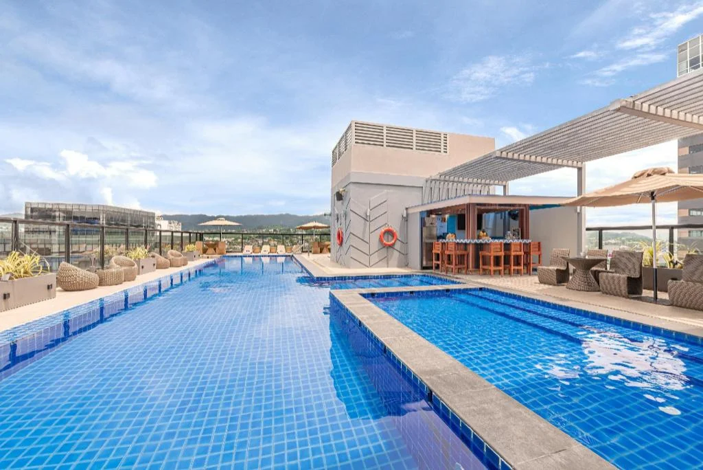
Seda Central Bloc Cebu City
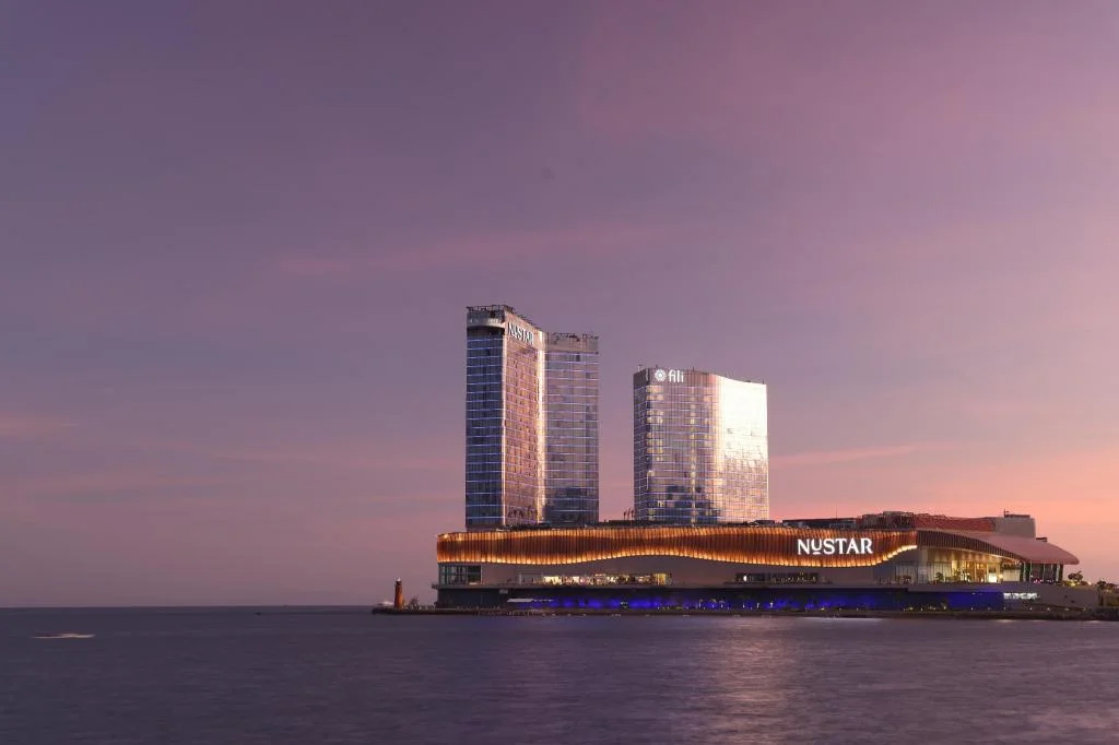
Fili Hotel - NUSTAR Resort & Casino Cebu
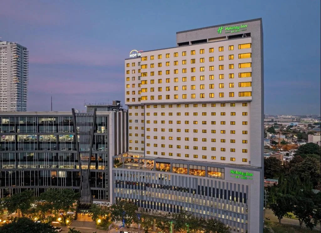
Holiday Inn Cebu City By IHG
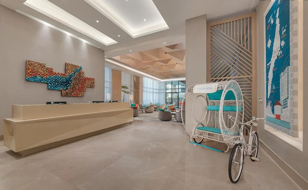
Citadines Cebu City
Prefer a rental? Vacation rentals near Cebu City
Self-catering condos and apartments — book the exact unit, kitchen included.
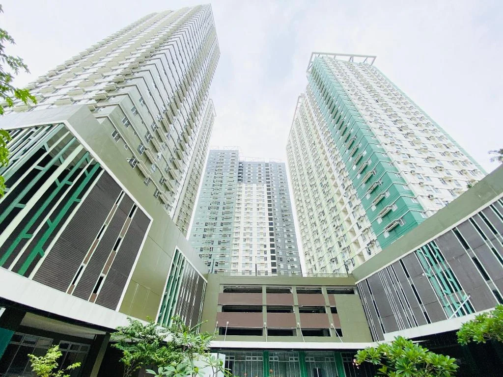
Cebu Avida Riala by P&J
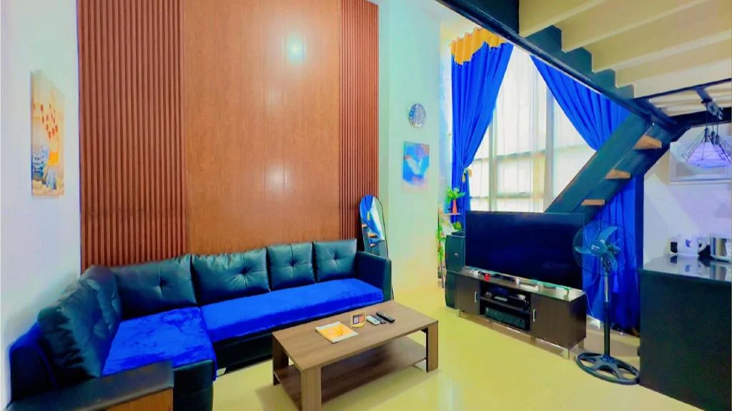
Special Big Loft Unit w/Fibreop Internet & Netflix
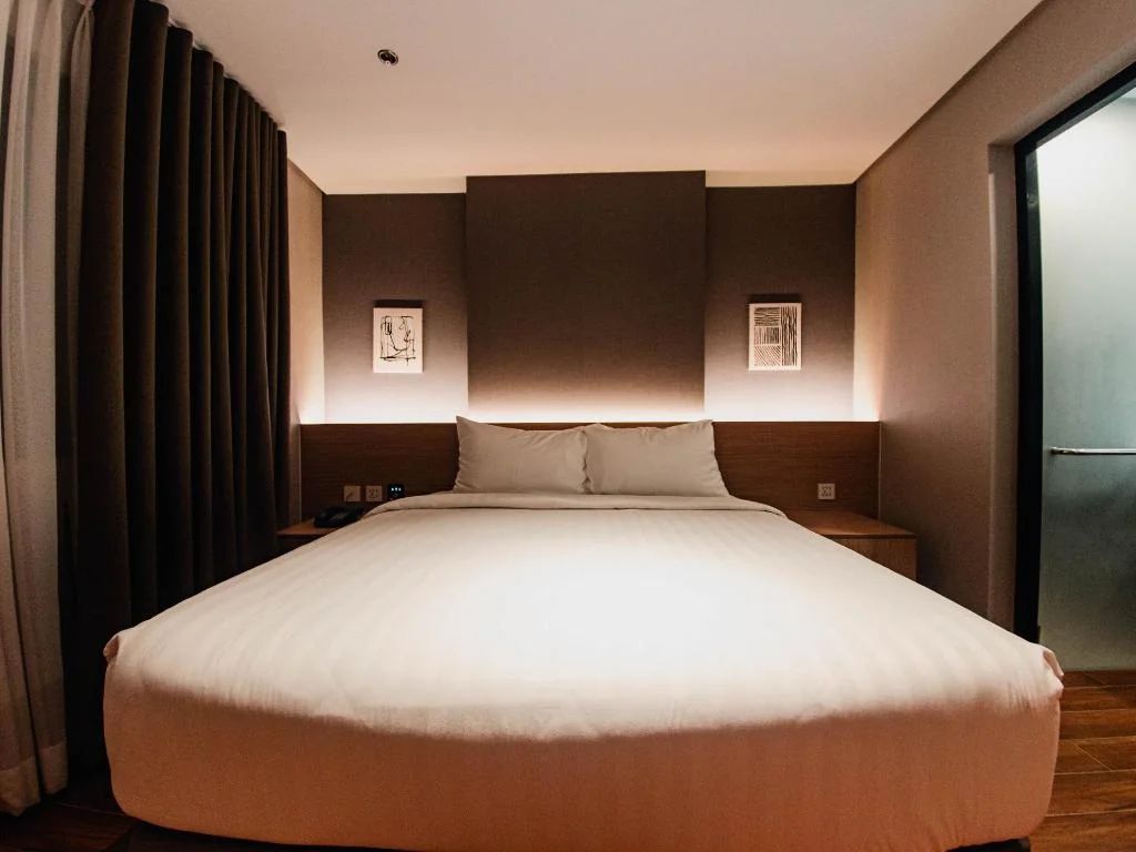
Moonstar Cebu Hotel - Deluxe Room
Before you go
Frequently asked
What roads close during Sinulog, and when?
Can Grab or taxis reach the parade route?
Where should I park if I'm driving into Cebu City for Sinulog?
Does the South Bus Terminal still operate during Sinulog?
How do jeepney routes change during Sinulog?
How do I get from Mactan-Cebu International Airport during Sinulog?
Is it faster to just walk everywhere during Sinulog?
More Places to Explore
Basilica del Santo Niño
Cebu City
The oldest church in the Philippines (1565), home to the miraculous Santo Niño image and center of the famous Sinulog Festival.
Magellan's Cross
Cebu City
The historic cross planted by Ferdinand Magellan in 1521, marking the birth of Christianity in the Philippines and now a National Cultural Treasure.