
TL;DR: Mt. Babag is Cebu City’s highest point at roughly 750 meters, reached via a 2-3 hour hike (one way) from the Sitio Napo trailhead in Guadalupe — no formal entrance fee, just habal-habal fares of about ₱20-50 (US$0.35-0.85) from Guadalupe Church. The payoff is a 360-degree view of Metro Cebu from the ridge near the RCPI towers, which is also why it’s a favorite night hike (groups head up around 9:30 PM for the city lights). It’s moderate, sun-exposed, and best started early or as a night climb with a group. Verified July 2026.
If you live in or are staying in Cebu City and want a real hike without a long drive out of town, Mt. Babag is the answer. It rises directly behind Guadalupe and Banawa, and on a clear day its ridge gives you the same kind of skyline view you’d get from Temple of Leah or Tops Lookout, except you earned it on foot. This guide covers the standard Napo trail, what a night hike actually looks like, how the nearby Kabang/Budlaan Falls trail relates to it, difficulty, cost, and how to get there from the city. It’s written for people who want an honest half-day (or half-night) hike, not a technical mountaineering trip — Babag doesn’t need ropes or a guide-mandated permit, but it does reward preparation.
Mt. Babag at a Glance
| Detail | Info |
|---|---|
| Elevation | ~750 m (Cebu City’s highest point) |
| Standard trailhead | Sitio Napo, Barangay Sapangdaku (via Guadalupe) |
| Hike time (one way) | 2-3 hours for an average pace |
| Round trip | 4-6 hours with rest stops |
| Entrance fee | None official; small checkpoint donations possible |
| Transport to trailhead | Grab/taxi to Guadalupe Church ( |
| Best for | Sunrise hikes, sunset hikes, and night hikes for city lights |
Verified July 2026. Habal-habal fares move with fuel prices — confirm on the day.
How Do You Get to the Mt. Babag Trailhead?
Get to Guadalupe Church first, then take a habal-habal up to Sitio Napo. From downtown Cebu City or IT Park, a Grab or taxi to Guadalupe Church takes about 15-20 minutes. At the church (or nearby), hire a habal-habal (motorcycle taxi) for the roughly 10-15 minute ride up to the Sitio Napo trailhead in Barangay Sapangdaku — this is the standard jump-off for what locals call the Napo-Babag trail. Each habal-habal typically carries two passengers, and fares run about ₱20-50 per person depending on the driver and how far up the barangay road you go. If you’re driving yourself, you can get a motorbike or car partway up, but the paved road gives out well before the actual trail starts.
What Is the Trail Like?
Expect a real trail — dirt paths, some mud, exposed sun, and a steady climb — not a paved viewpoint walk. The Napo Main Trail follows the Sapangdaku River valley before climbing toward the ridge where the Kahugan and Busan trail options split off; most first-timers stick to the main trail toward the RCPI towers, which function as the informal summit marker and the best photo spot for the 360-degree view over Metro Cebu, the Mactan Channel, and the hills toward Toledo on a clear day. There’s grass, some bamboo groves, and a few sections without shade, so the midday sun is the main discomfort rather than technical difficulty. One water refill point exists along the standard route, but don’t rely on it — bring your own.
How Hard Is It, Really?
Moderate — no ropes or scrambling, but it’s a genuine cardio workout with real elevation gain. Reasonably fit beginners manage the Napo-Babag trail without a guide, especially if they start early. The uphill stretch is the toughest part; once you’re near the ridge the walking flattens out and the views start. After heavy rain the trail gets slick and the river crossings can rise, so if it’s been raining hard, push your hike a day or reroute. There are no facilities at the top — no food stalls, no toilets — so plan accordingly and pack out your trash.
Is the Night Hike Worth It?
Yes, if city-lights views are what you’re after — it’s arguably Babag’s signature experience. Groups commonly assemble in the evening and start the climb around 9:30 PM, timing the ridge arrival for a clear night view of Metro Cebu’s lights spread out below, from Cebu City through Mandaue and out toward Mactan. Bring a headlamp (the trail has zero lighting), go with a group rather than solo, and check the weather — a socked-in or rainy night makes both the footing and the view a bad trade. Some hikers camp overnight near the ridge or at Chalet Hills in Sitio Babag, Busay, specifically for the sunrise-into-morning city view, though camping logistics (permission, site conditions) are worth confirming with a local hiking group before you commit gear to it.
Can You Combine It With Kabang or Budlaan Falls?
Treat them as separate hikes unless you’re with someone who knows the connecting trail. Kabang Falls — also called Budlaan Falls or Tinisig-uwang Falls, a multi-level waterfall system in Barangay Budlaan toward Talamban — sits in the same general mountain range as Babag, and some experienced local hikers do link Babag, Budlaan, and the trail toward Sirao Peak into one long day. But the Budlaan/Kabang jump-off is a different trailhead from the Guadalupe-Napo route up Babag, and stringing them together isn’t something to freelance without local knowledge of the connecting paths. If waterfalls are your priority for the day, go straight for that hike using our Budlaan Falls and Sapangdaku trail guide instead of trying to bolt it onto Babag.
What Should You Pack?
- Water: at least 1.5-2 liters; more if you’re hiking midday.
- Sun protection: cap, sunscreen, light long sleeves — much of the trail is exposed.
- Footwear: trail shoes or running shoes with real grip; the dirt gets slick.
- Food: your own snacks or packed lunch — there are no stores at the summit.
- Cash: small bills for habal-habal fares both ways.
- Headlamp: mandatory if you’re doing the night hike, useful even for early-morning starts.
- Rain layer: a light packable jacket in wet season (roughly June-October).
The Honest Take
Mt. Babag isn’t a bucket-list mountain the way Osmeña Peak or the Kawasan canyoneering circuit are — it’s a workhorse hike for people who live in or are based in Cebu City and want real elevation and a real view without leaving town. That’s exactly its appeal: no long van ride south, no tour operator required, just a Grab to Guadalupe and a couple of hours of climbing. It gets crowded with local hiking groups on weekend mornings and during organized night hikes, so if you want solitude, aim for a weekday. Skip it entirely during or right after heavy rain — the trail turns to slop and the river sections rise. And don’t treat the Budlaan/Kabang Falls trail as an easy add-on; it’s a genuinely separate hike with its own jump-off, and conflating the two is how people end up lost or exhausted trying to freelance a connector trail they don’t actually know.
For a broader menu of hikes in and around Cebu, see our roundups on the best hikes in Cebu and the best beginner-friendly hikes near Cebu City, and if you’d rather get the skyline view without the climb, Temple of Leah and Tops Lookout both deliver a version of the same city panorama by car.
Planning a longer Cebu stay around the outdoors? Check flights and pack light hiking gear, and if you want a guided version of Cebu’s mountain trails rather than going solo, browse Cebu hiking and outdoor tours on Klook for group options with a local guide.
Sources
- Dakilanglaagan — Ultimate Hiking Guide to Cebu’s Mountains and Trails (trail routes, Napo trailhead, waterfalls)
- 3D Academy — Mount Babag Hiking Trail (transport costs, difficulty, safety tips)
- Pinoy Mountaineer — Mt. Babag (752+) in Cebu City (elevation, trail background)
- Queen City Cebu — Kabang (Budlaan) Falls: An Adventurer’s Guide (Kabang/Budlaan Falls location and naming)
- Wandering Soul Scamper — Revisiting Mount Babag (RCPI Towers): A Night Camp with the City Lights (night hike, city lights, Chalet Hills)
- Trail conditions, fares, and timing cross-checked against recent hiker trip reports. Confirm current habal-habal rates and any group/guide arrangements locally before you go. Verified July 2026.
Book Tours & Hotels for This Trip
Find and book the best deals — prices and availability update in real time. Links open in a new tab.
Where to stay near Cebu City
Top-rated hotels for this trip — tap through to check live rates.
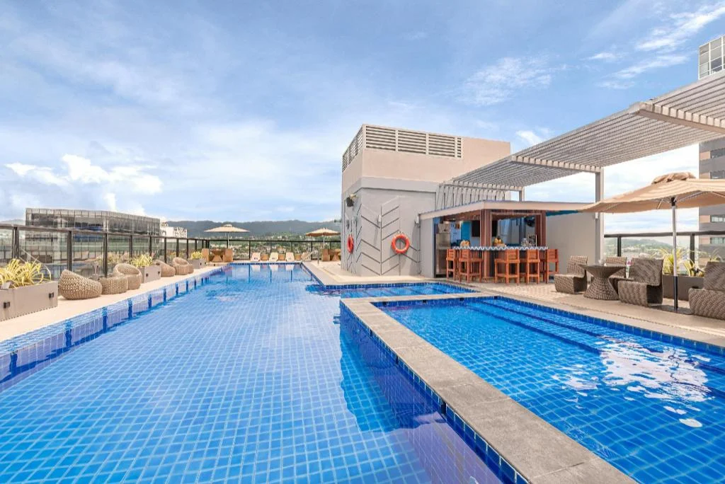
Seda Central Bloc Cebu City
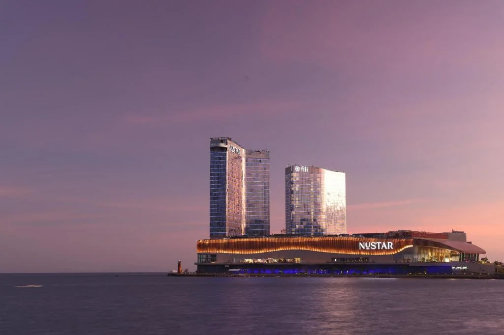
Fili Hotel - NUSTAR Resort & Casino Cebu
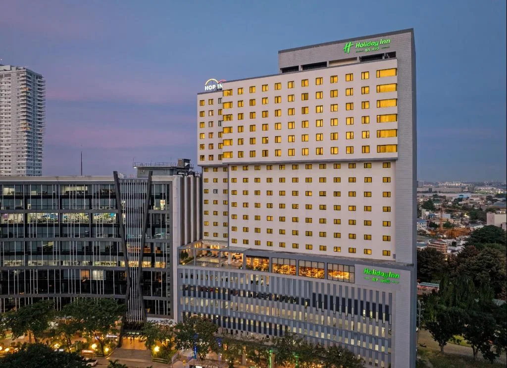
Holiday Inn Cebu City By IHG
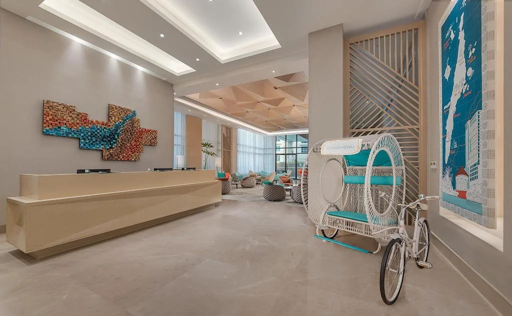
Citadines Cebu City
Prefer a rental? Vacation rentals near Cebu City
Self-catering condos and apartments — book the exact unit, kitchen included.
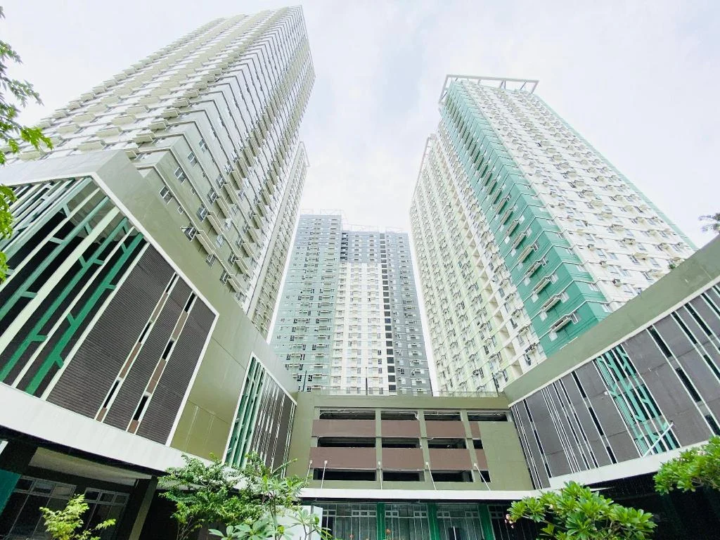
Cebu Avida Riala by P&J
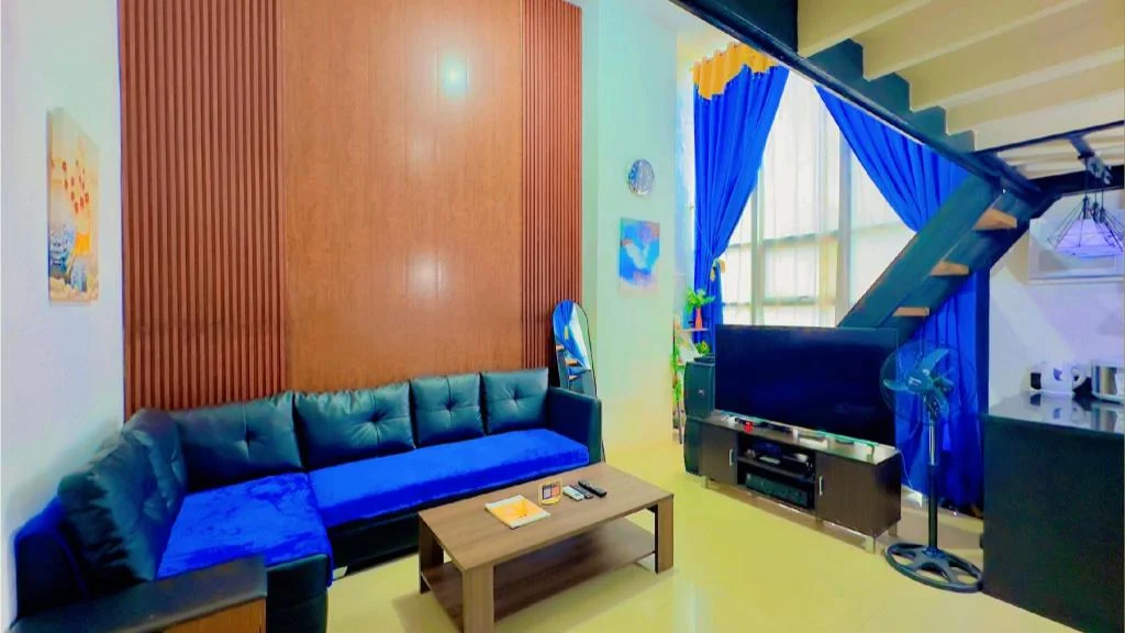
Special Big Loft Unit w/Fibreop Internet & Netflix
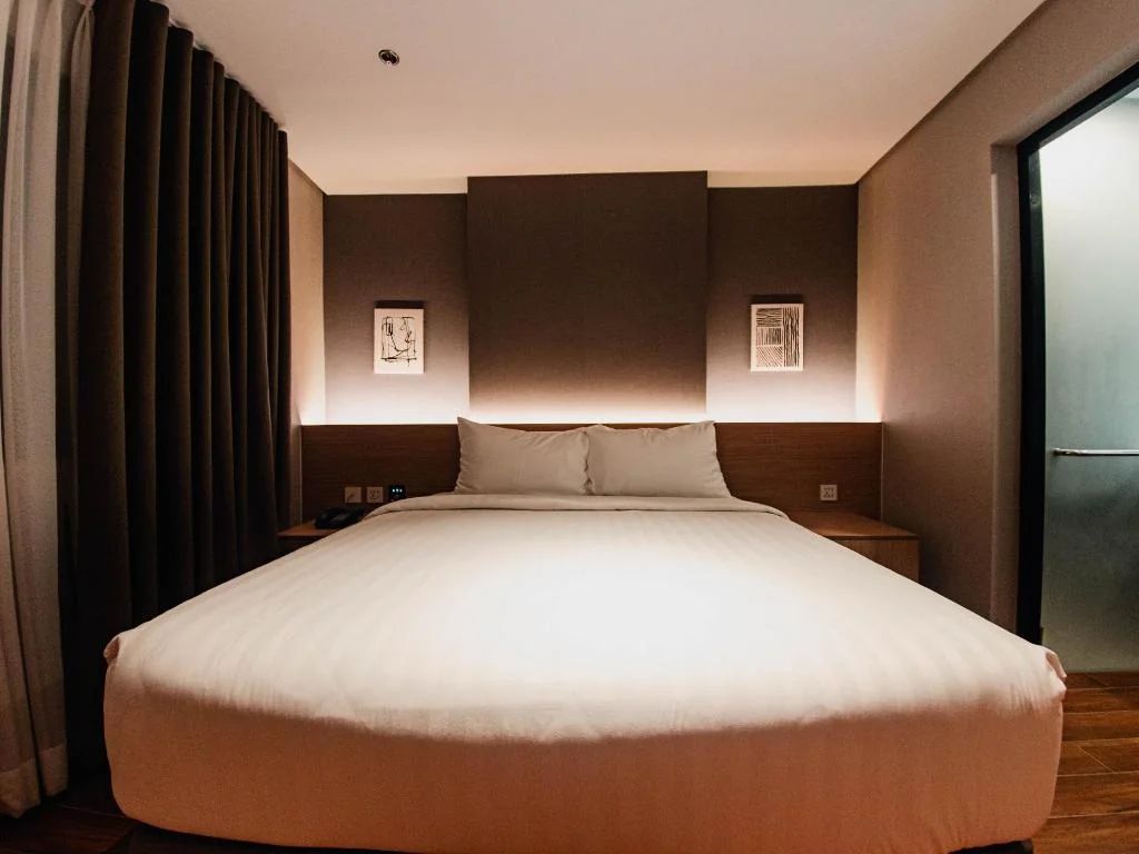
Moonstar Cebu Hotel - Deluxe Room
Before you go
Frequently asked
How hard is the Mt. Babag hike?
How much does it cost to hike Mt. Babag?
Can you do a night hike on Mt. Babag?
How do you get to the Mt. Babag trailhead?
Can you combine Mt. Babag with Kabang or Budlaan Falls?
What should I bring on the Mt. Babag hike?
What is the RCPI Tower at Mt. Babag?
Is Mt. Babag worth it if I've already done Osmeña Peak or Sirao Peak?
More Places to Explore
Temple of Leah
Cebu City
A magnificent Roman-inspired temple built as a monument of love, nicknamed 'Cebu's Taj Mahal,' offering stunning architecture and city views.
Tops Lookout
Cebu City
Cebu City's premier hilltop viewpoint offering stunning panoramic views of the city, especially spectacular at sunset and nighttime.