
TL;DR: Mt. Manunggal (about 980–1,000 meters, Barangay Magsaysay, Balamban) is where President Ramon Magsaysay’s plane went down on March 17, 1957, killing him and 24 others — a National Historical Landmark since 2012. It’s a moderate hike through pine forest to a memorial, preserved engine wreckage, and a campsite with a shot at the sea of clouds at dawn. Budget ₱150–300 (US$2.60–5) in registration, entrance, and camp fees plus a ₱200–300 (US$3.50–5) guide fee per group, and about 1.5–2.5 hours to drive out from Cebu City. Verified July 2026.
Most people who search “Mt. Manunggal” are looking for one of two things: a cool-climate hike and camping spot in the central Cebu highlands, or the history of what actually happened there. Mt. Manunggal is both. In 1957, the presidential plane carrying Ramon Magsaysay — one of the most popular presidents in Philippine history — crashed into this mountain’s slopes, and the site has since become a National Historical Landmark, a pilgrimage for history-minded Filipinos, and, on any given weekend, a genuinely pleasant overnight camping trip. This guide covers the history, the routes in, the fees, the camping setup, and whether the trip is worth your time if you’re already juggling Cebu’s beaches and waterfalls. If you’re combining it with a longer highlands day, pair it with our Transcentral Highway guide and, if you want the classic Cebu City viewpoint on the way back, Tops Lookout.
Mt. Manunggal at a Glance
| Detail | Info |
|---|---|
| Location | Barangay Magsaysay, Balamban, Cebu (central highlands) |
| Elevation | ~980–1,000 m — among Cebu’s higher peaks |
| Drive from Cebu City | 1.5–2.5 hrs (private vehicle/van via Transcentral Highway) |
| Hike time | 2–3 hrs (Gaas route) or 5–6 hrs (Tabunan route) |
| Entrance/registration/camp fees | ₱150–300 (US$2.60–5) per person |
| Guide fee | ₱200–300 (US$3.50–5), shared per group |
| Best time to visit | November–May (dry season) |
| Historical status | National Historical Landmark (declared 2012) |
Fees are the latest figures we could verify from local hikers and barangay sources — confirm at the checkpoint on the day. Verified July 2026.
What Happened at Mt. Manunggal in 1957?
On March 17, 1957, the presidential plane “Mt. Pinatubo” — a Douglas C-47 Skytrain — crashed into Mt. Manunggal’s slopes shortly after taking off from Cebu, killing President Ramon Magsaysay and 24 of the 26 people on board. Journalist Nestor Mata was the sole survivor. Magsaysay was a wildly popular sitting president known for his anti-corruption and land-reform push, and the crash remains one of the defining tragedies of postwar Philippine politics.
The National Historical Commission of the Philippines declared the crash site a National Historical Landmark on April 24, 2012. The barangay itself — once known locally by a different name — was renamed Barangay Magsaysay in his memory, and an annual commemorative trek to the site, often starting from Tagba-o and Cantipla in Tabunan on the Cebu City side, marks the anniversary of his death every March.
At the site today, a memorial marker stands alongside a preserved cylinder block from one of the aircraft’s engines — real wreckage, not a replica. A small chapel, built during the 1980s communist-insurgency period when the area saw military activity, sits nearby. It’s not a curated museum experience; it’s a quiet clearing in a pine forest where something genuinely significant happened, and it reads that way when you’re standing there.
How Do You Get to Mt. Manunggal?
Take the Transcentral Highway out of Cebu City toward Balamban, then branch off toward Barangay Gaas or Barangay Tabunan, both of which feed into Barangay Magsaysay. There’s no direct jeepney route to the jump-off, so most visitors arrange a private vehicle, a chartered van, or a van-plus-habal-habal combo, often starting from a pickup point on the Cebu City side such as JY Square in Lahug.
The drive takes roughly 1.5–2.5 hours depending on traffic and which route you take. The road is mostly paved until you get close to the mountain, where it turns rough — a vehicle with decent ground clearance is worth having, especially in the rainy season when the unpaved stretch gets slippery.
Two hiking routes lead to the summit and campsite:
- Via Barangay Gaas — shorter and more direct, roughly 2–3 hours to the top. Most day-trippers take this one.
- Via Barangay Tabunan — a longer trek through farmland and forest, roughly 5–6 hours, popular with hikers who want more distance or are planning an overnight camp.
Some tour groups and locals shorten part of the rougher access road with a habal-habal or 4x4 vehicle, especially for camping trips with gear to haul, but the final approach to the memorial and campsite is always on foot.
What Fees Do You Actually Pay?
Plan for roughly ₱150–300 per person in local fees, plus a shared guide fee. At the barangay checkpoint — Magsaysay, Gaas, or Tabunan depending on your route — hikers typically pay a small registration fee, an entrance fee, and a camp/facility fee if staying overnight, which together have historically run in the ₱80–150 per person range. Guides, arranged on-site rather than booked ahead, run about ₱200–300 (US$3.50–5) per guide, shared across your group. Add transport, which runs roughly ₱150–250 per head each way by van or habal-habal from the city or Balamban town.
These are barangay-set fees, which get adjusted from time to time with little public notice. Bring small bills and treat the numbers above as a planning range rather than a guarantee — confirm the exact figure at the checkpoint gate.
Is the Sea of Clouds and Camping Worth It?
Yes, if you’re prepared for the trip to be weather-dependent. The campsite near the summit sits in a cool pine grove with toilets, a spring-fed water source, and small sari-sari stores for snacks and water refills — enough infrastructure to make an overnight comfortable without being a resort. Temperatures drop noticeably at night, which is part of the appeal for Cebu-based campers escaping the lowland heat.
At dawn, walk to the viewing deck for a shot at the sea of clouds — a blanket of fog settling below the ridgeline, visible when temperature and humidity line up. It doesn’t happen every morning, so check the weather forecast before you plan a trip specifically around it, and treat a clear sunrise as the more reliable fallback. Bring your own tent; on-site rentals aren’t consistently available.
How to Choose Your Route
- Short on time or new to hiking? Take the Gaas route — 2–3 hours, more direct, still gets you to the memorial and campsite.
- Want a longer, more scenic day or a proper overnight camp? The Tabunan route covers more ground through farmland and forest before the final climb — budget 5–6 hours and consider camping instead of a same-day round trip.
- Traveling with a group and gear-heavy for camping? Ask locally about habal-habal or 4x4 support on the rougher stretch of road before committing to carry everything on foot.
- New to hiking in Cebu generally? Consider an easier introduction first — see our Transcentral Highway guide for the wider Balamban corridor, including cafés and viewpoints that don’t require a full hike.
The Honest Take
Mt. Manunggal isn’t the mountain to pick if you want Cebu’s classic postcard shot — Osmeña Peak and the south Cebu ridgelines are more photogenic and get all the Instagram attention for good reason. What Manunggal offers instead is something rarer: a real, sobering piece of national history sitting quietly in a pine forest, without crowds, tarpaulin selfie-frames, or much online hype at all. That’s either exactly what you’re looking for, or it’s half a day of transport for a modest summit and a memorial — be honest with yourself about which one you are before committing to the trip.
Go if a genuinely different, quieter hike with a real story behind it appeals to you, and you don’t mind that the “highlight” is a memorial rather than a sweeping view. Skip it if you only have a half-day in Cebu City, don’t want to arrange your own transport out to Balamban, or you’re chasing dramatic scenery over history. If you’ve also seen the phrase “Mt. Kalatkat and Mt. Manunggal” grouped together online, note that they’re unrelated mountains in different parts of the province — don’t plan them as a single day trip.
Combine It With the Rest of the Highlands
Pair Mt. Manunggal with the wider Transcentral Highway route between Cebu City and Balamban, or bookend the trip with Tops Lookout back in Cebu City for a more accessible mountain view if the hike itself feels like enough adventure for one day. For other Cebu hiking options, browse our best hikes in Cebu roundup, or see best beginner hikes near Cebu City if Manunggal’s longer Tabunan route sounds like more than you want to start with.
If you’d rather arrange transport and a guide through an operator, search Cebu highlands and hiking day tours on Klook or check GetYourGuide’s Cebu countryside listings as an alternative. Basing yourself in Cebu City before or after the hike? Compare Cebu City hotel rates on Agoda.
Sources
- Mount Manunggal — Wikipedia (elevation, National Historical Landmark declaration, memorial details)
- 1957 Cebu Douglas C-47 crash — Wikipedia (crash date, casualties, aircraft details, sole survivor)
- Mt. Manunggal: A Must-Visit Peak in Balamban, Cebu — Suroy.ph (distance, hike duration, fees)
- The Epic Mt Manunggal Campsite: Guide & Activities — Travel Muppetz (route details, campsite amenities, registration point)
- Mount Manunggal: Why Getting Lost Is Never A Waste Of Time — The Bisaya Traveler (2025 trip report, transport fares, trail conditions)
- Fees, transport costs, and trail conditions verified against hiker reports current as of 2024–2025; confirm exact amounts locally. Verified July 2026.
Book Tours & Hotels for This Trip
Find and book the best deals — prices and availability update in real time. Links open in a new tab.
Where to stay near Cebu City
Top-rated hotels for this trip — tap through to check live rates.
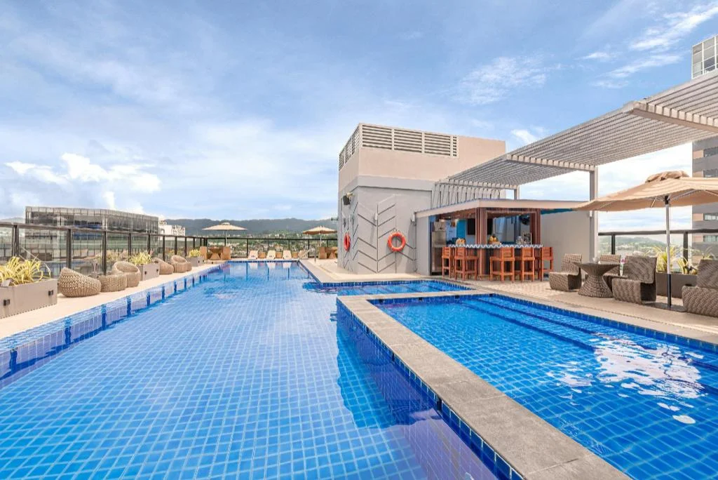
Seda Central Bloc Cebu City
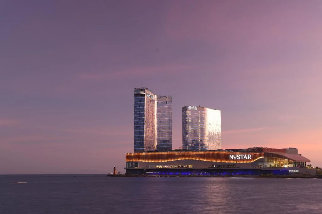
Fili Hotel - NUSTAR Resort & Casino Cebu
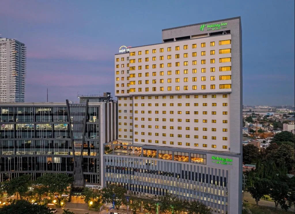
Holiday Inn Cebu City By IHG
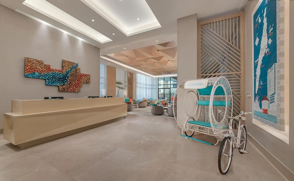
Citadines Cebu City
Prefer a rental? Vacation rentals near Cebu City
Self-catering condos and apartments — book the exact unit, kitchen included.
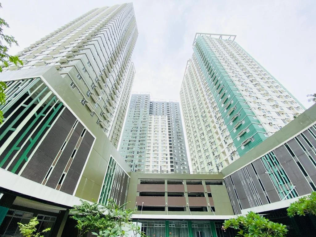
Cebu Avida Riala by P&J
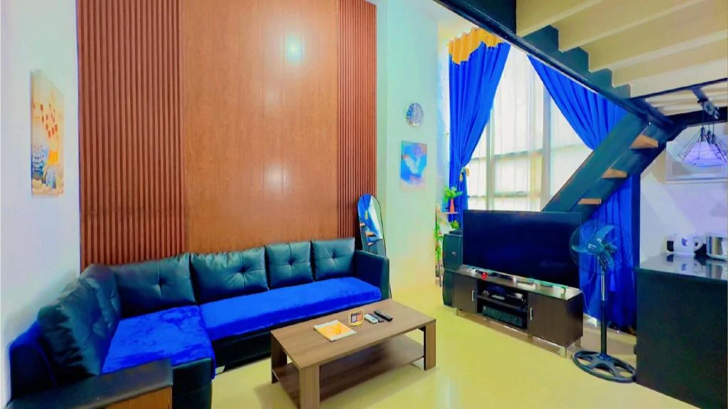
Special Big Loft Unit w/Fibreop Internet & Netflix
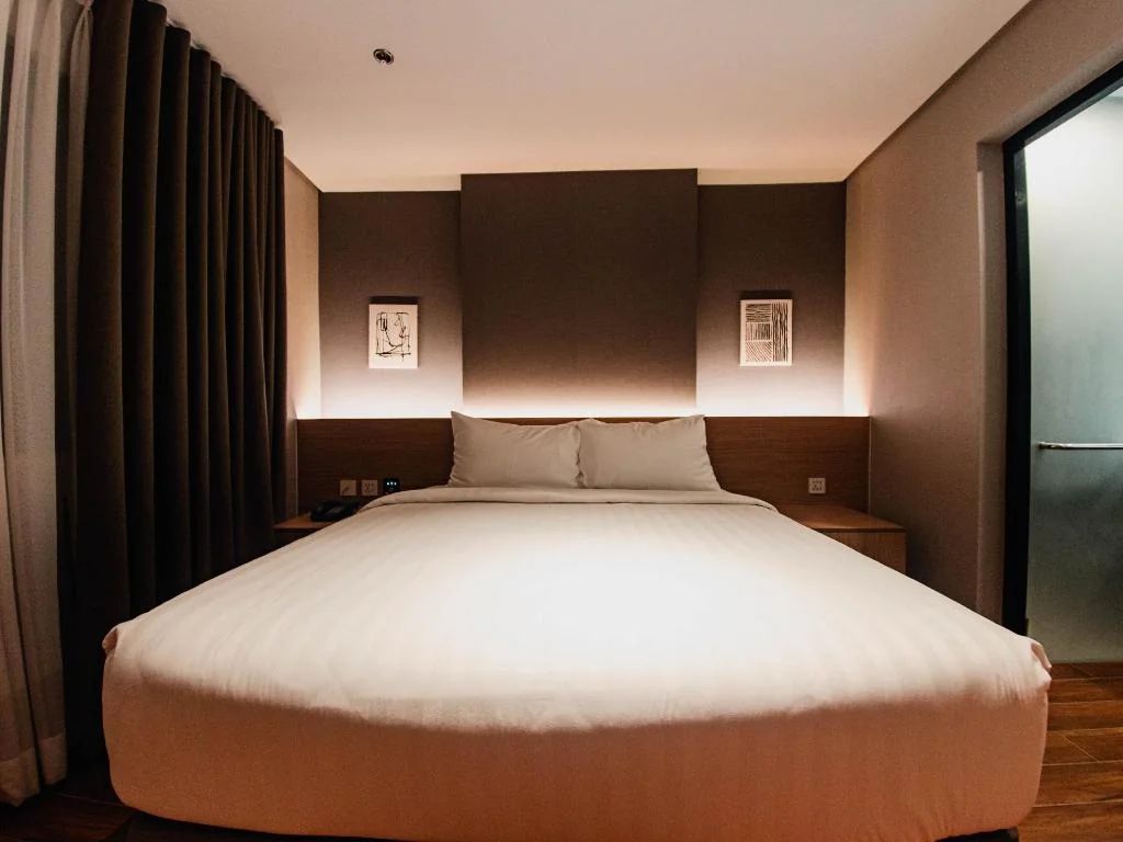
Moonstar Cebu Hotel - Deluxe Room
Before you go