
TL;DR: Mt. Lanaya sits at roughly 700-720 MASL in Alegria, south Cebu — a steep, ridge-scrambling hike that’s genuinely harder than most “Instagram peaks” nearby. The tough Legaspi trail takes 4-5 hours up; the shorter Lumpan (“executive”) trail takes 1-2 hours. Budget P200-700 per person for registration and a required guide, more for overnight camping. Camp on the ridge for a shot at a sea-of-clouds sunrise (weather-dependent, not guaranteed), and pair it with Kawasan Falls, just 30-40 minutes away in Badian. Verified July 2026.
Mt. Lanaya doesn’t get the crowds that Osmeña Peak does, and that’s kind of the point. It’s a proper hike — steep, narrow, occasionally hands-on-rock scrambling — tucked into the hills above Alegria, a quiet coastal town in south Cebu that most tourists only pass through on the way to Moalboal or Kawasan Falls. If you’ve done the easy viewpoint hikes and want something that actually earns the view, Lanaya is where south Cebu’s hiking community sends you next.
This guide is for travelers who want a real trail day (or overnight camp) rather than a 20-minute walk to a viewing deck: what the two trailheads are like, what a guide and registration actually cost, whether you can realistically catch the sea of clouds, and how to fold Lanaya into a south Cebu trip that also hits Kawasan Falls. It’s not a beginner hike — go in with the right expectations and the right shoes.
Mt. Lanaya at a Glance
| Item | Detail |
|---|---|
| Elevation | ~700-720 MASL |
| Location | Alegria, south Cebu (~130 km / 3.5-5 hrs from Cebu City) |
| Trailheads | Barangay Legaspi (harder, longer) or Barangay Lumpan (shorter, “executive” trail) |
| Legaspi trail time | ~4-5 hours ascent |
| Lumpan trail time | ~1-2 hours ascent |
| Registration fee | ~P50-100 per person |
| Guide fee | ~P150/person, or ~P500 for a group of 5 |
| Overnight guide fee | ~P600-800 |
| Porter (optional) | ~P300-500 |
| Best for | Experienced day hikers, overnight campers chasing sunrise/clouds |
Fees are reported by recent hikers and local blogs, not a fixed published rate card — confirm the current amount at the barangay hall before you start. Verified July 2026.
How Hard Is the Hike?
It’s genuinely one of south Cebu’s tougher day hikes, not a casual walk. The classic route via Barangay Legaspi climbs through open, exposed terrain with steep, near-vertical sections where hikers use ropes, roots, or their hands to pull up — reports put the ascent at around 4-5 hours. The alternate Barangay Lumpan trail, sometimes sold locally as the “executive trail,” is much shorter at roughly 1-2 hours, but don’t mistake short for easy — it still has narrow, knife-edge ridge sections near the summit where a slip has real consequences.
Trail naming varies a bit between blogs and guides (some older write-ups reference a “Linao” trailhead in the same area), so confirm which trailhead your guide is taking you up when you register — it changes the time and difficulty significantly.
Do You Need a Guide, and What Does It Cost?
Yes — a guide is required on the Legaspi trail and strongly recommended everywhere else, and it’s cheap enough that skipping it isn’t worth the risk. You register and pay at the barangay hall (Legaspi or Lumpan, depending on your trailhead), typically P50-100 per person for registration plus a guide fee of about P150 per head, or roughly P500 split across a group of five. Overnight camping trips, which need a guide to stay with the group, run closer to P600-800. If you’re hauling a full overnight kit, a porter costs an extra P300-500.
There’s no ATM, sari-sari store, or water source on the trail, so bring cash for fees and enough water and food for the whole hike — 2-3 liters per person is the standard recommendation for a day hike.
Can You Actually See the Sea of Clouds?
Sometimes — it’s the main reason people camp overnight instead of day-hiking, but it’s weather luck, not a guarantee. On cool, humid mornings, cloud pools settle in the valleys below the ridge and burn off as the sun rises, and campers who catch it describe it as the highlight of the trip. It doesn’t happen every night. If the sea of clouds is your main reason for going, ask your guide about recent conditions before you commit to hauling a tent up, and treat a clear, cloudless morning as still worth it for the ridge views alone — on good visibility days, hikers report seeing across the Tañon Strait to Negros Oriental and, occasionally, Mt. Kanlaon.
Overnight camps use a ridge site some hikers call the “Windows XP campsite” for its rolling-hills-and-sky view — bring a tent, sleeping bag or warm layer (it cools off at night), a headlamp, and rain protection, since weather on an exposed ridge changes fast.
How Do You Get to Mt. Lanaya?
From Cebu City, take a south-bound bus to Alegria and switch to a habal-habal for the last stretch to the trailhead. Ride a Ceres bus from the Cebu South Bus Terminal toward Bato or Samboan via Barili, and ask to get off at Alegria town proper — the trip runs roughly 3.5-5 hours depending on traffic and stops, for about P155-200. From the town proper, hire a habal-habal to Barangay Legaspi or Barangay Lumpan, whichever trailhead you’re using; your guide or the barangay hall can help arrange this. Driving yourself takes about 3-3.5 hours via the Carcar-Barili road.
Since it’s a full day either way, most people either camp overnight or base themselves nearby — Moalboal or Badian are the closest towns with a real range of hotels and hostels.
How Do You Combine It with Kawasan Falls?
Easily — Kawasan Falls in Badian is only about 30-40 minutes from Alegria, making a two-day south Cebu loop straightforward. A typical plan: hike (or camp overnight at) Lanaya, then head to Kawasan the next morning for a swim at the main falls or a canyoneering run down the Kanlaob River, before heading back to Cebu City or on to Moalboal. See our full Osmeña Peak to Kawasan Falls trek guide for a similar south Cebu mountain-to-waterfall combo, or our waterfall trail route for more stops along the way. If canyoneering is on your list, book the Kawasan Falls canyoneering trip on Klook in advance — the route is a regulated, guide-led amphibious trek down the river to the falls basin and it books out on weekends.
How to Choose Your Trailhead
- Want the full challenge and don’t mind a long day: go Legaspi. It’s the trail locals talk about when they say Lanaya is “no joke.”
- Short on time or hiking with less-experienced friends: go Lumpan. It’s shorter but still not beginner-easy — treat it with the same respect (proper shoes, a guide, enough water).
- Chasing the sea of clouds: plan an overnight camp regardless of trailhead, and go in the cooler months if you can, since humid, cool mornings are what produce the cloud pools.
- Also want Osmeña Peak’s famous view: pair the two — many south Cebu hikers do Osmeña Peak for the easy panorama and Lanaya for the real workout, on the same multi-day trip. Compare tours and activities on GetYourGuide if you’d rather join a guided south Cebu hiking trip than arrange trailhead logistics yourself.
The Honest Take
Mt. Lanaya rewards people who actually want to hike, not just get a photo. If your idea of a “hike” is the five-minute walk to Osmeña Peak’s viewing platform, Lanaya’s steep, exposed, occasionally rope-assisted terrain will be a shock — go with real shoes, a guide, and a realistic sense of your own fitness. The upside is that it’s far less crowded than the well-known viewpoints closer to the highway, and the sense of having earned the summit is real.
Don’t build your whole trip around the sea of clouds — treat it as a bonus, not the plan. It’s genuinely weather-dependent, and plenty of overnight campers wake up to clear skies instead of clouds below them; the ridge views and the quiet are worth the trip either way. Skip it entirely if you have any fear of heights or exposed scrambling, or if you’re traveling with young kids — this isn’t the family-friendly nature walk that some of Cebu’s other “hills” are.
Combine It With the Rest of South Cebu
Base yourself in Moalboal or Badian and treat Lanaya as one stop on a south Cebu loop that also covers Osmeña Peak, Kawasan Falls, and the wider nature spots south of Cebu City. If you’re staying over, check hotel availability in Moalboal on Agoda — it’s the closest town with a real range of options and the easiest base for an early trailhead start.
Sources
- Guide fees, trail times, and trailhead details cross-checked against recent hiker reports and local blogs, including Proud Bisaya Bai, Queen City Cebu, VisMin.ph, and 3D Universal Academy’s Cebu travel blog
- Elevation figures cross-referenced against PeakVisor and Pinoy Mountaineer trip reports
- Badian canyoneering route and fee referenced from operator and local guide write-ups
- Exact registration and guide fees are not published on an official rate card — confirm current amounts at the Alegria barangay hall on arrival. Verified July 2026.
Book Tours & Hotels for This Trip
Find and book the best deals — prices and availability update in real time. Links open in a new tab.
Where to stay near Badian
Top-rated hotels for this trip — tap through to check live rates.
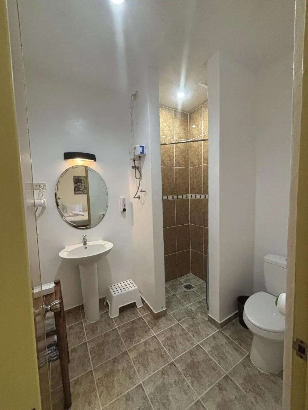
Cuestas Beach Resort and Restaurant
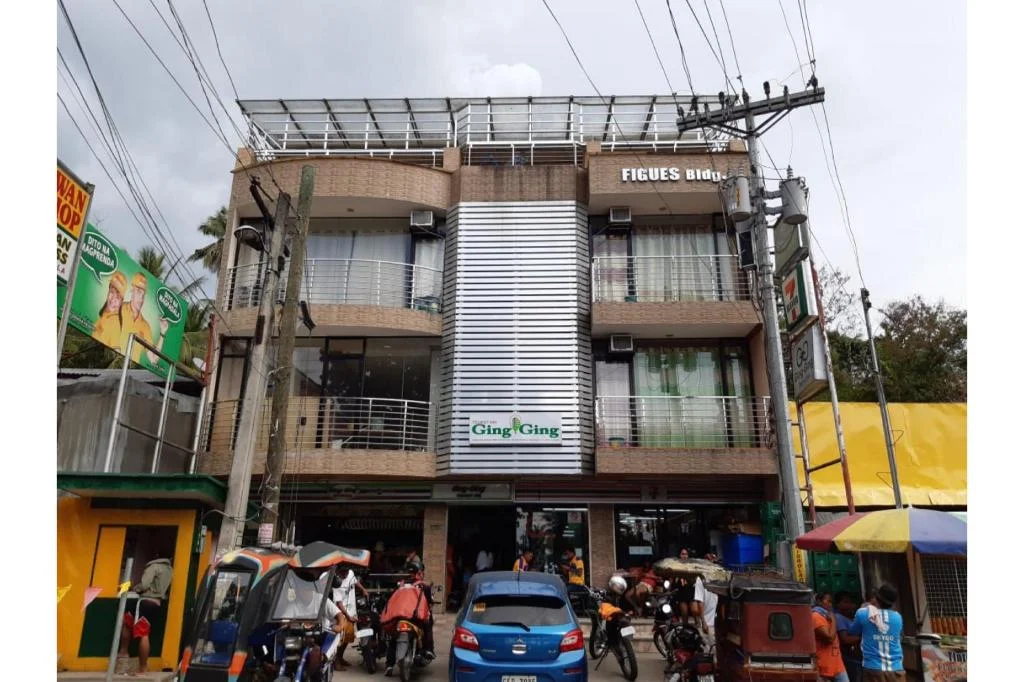
Ging Ging Tourist Inn

Beachhouse Poolside Room.
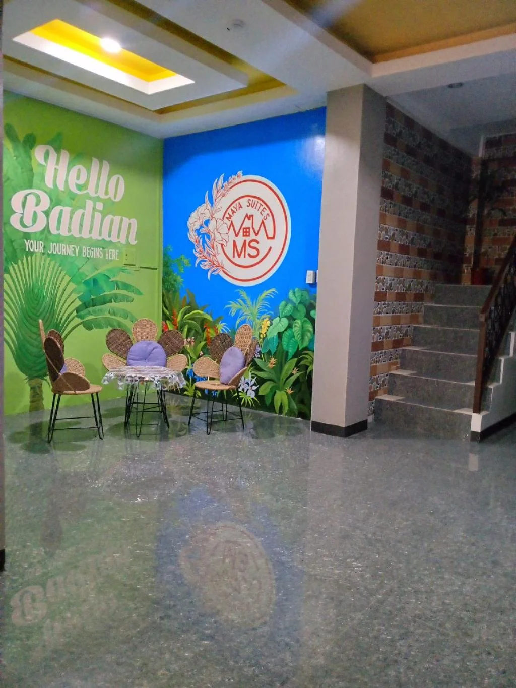
Maya Suites Badian powered by Cocotel
Prefer a rental? Vacation rentals near Badian
Self-catering condos and apartments — book the exact unit, kitchen included.
Browse all vacation rentals →
Before you go
Frequently asked
How hard is the Mt. Lanaya hike?
How much does it cost to hike Mt. Lanaya?
Do you need a guide for Mt. Lanaya?
Can you see a sea of clouds at Mt. Lanaya?
How do you get to Mt. Lanaya from Cebu City?
Can you combine Mt. Lanaya with Kawasan Falls?
What should you pack for Mt. Lanaya?
Is Mt. Lanaya worth it, or is Osmeña Peak enough?
More Places to Explore
Osmeña Peak
Dalaguete
Cebu's highest peak at about 1,013 meters, with jagged Chocolate-Hills-like ridges and panoramic island views.
Kawasan Falls
Badian
A stunning three-tiered waterfall famous for its turquoise waters, bamboo raft rides, and as the endpoint of the famous Badian canyoneering adventure.